Transport Functions
Port
Multimodal
Hub Profile
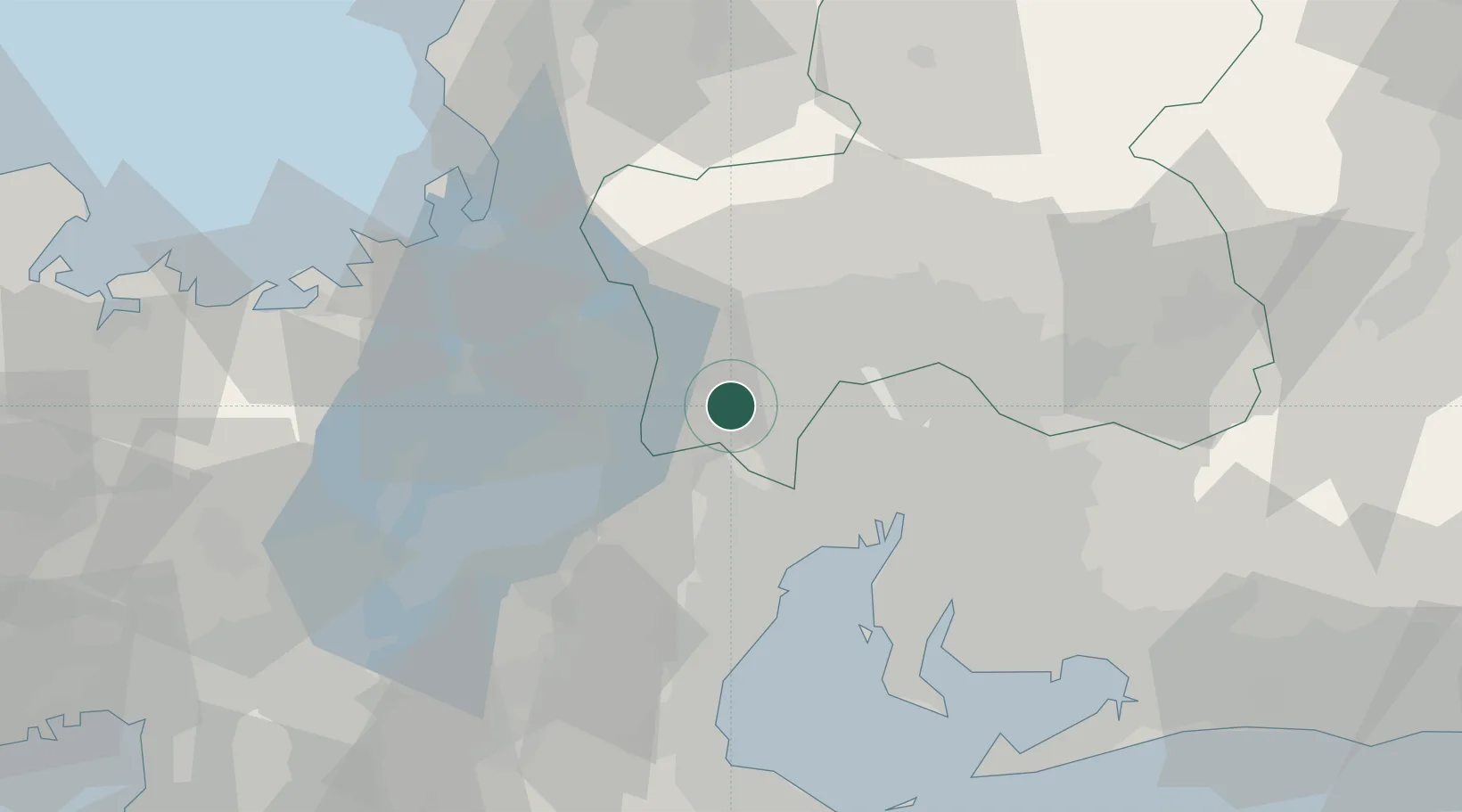
Place type
Populated place
Region
Chiba
Time zone
Asia/Tokyo
Elevation
39 m
Location
Nearby Logistics Neighbours
Cities
- 1Wanouchi, Gifu8 km
- 2Aisai19 km
- 3Takashima20 km
- 4Ibiwaga20 km
- 5Inabe20 km
Ports
- 1Yokkaichi38 km
- 2Nagoya Ko39 km
- 3Tsuruga Ko59 km
- 4Kinuura Ko62 km
- 5Matsusaka78 km
Airports
Trade Zones
DatabookThe Record of Consolidated Knowledge
Japan beyond logistics?