Transport Functions
Multimodal
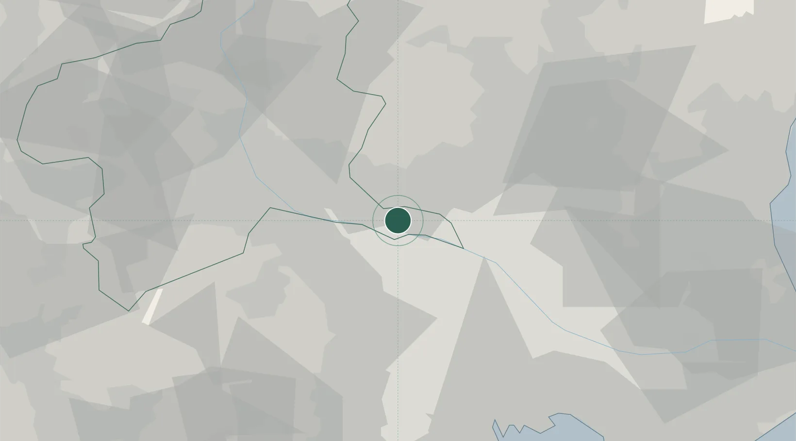
Hub Profile
Place type
Provincial seat
Region
Gunma
Population
81,274
Time zone
Asia/Tokyo
Elevation
28 m
Location
Nearby Logistics Neighbours
Cities
- 1Itakura11 km
- 2Ota, Gunma15 km
- 3Washimiya22 km
- 4Kiryu23 km
- 5Kuki25 km
Ports
- 1Tokyo Ko67 km
- 2Funabashi76 km
- 3Kawasaki Ko85 km
- 4Yokohama Ko88 km
- 5Chiba Ko89 km
Airports
- 1Iruma Air Base44 km
- 2Utsunomiya Airport47 km
- 3Yokota Air Base55 km
- 4Chofu Airport63 km
- 5JMSDF Shimofusa Air Base68 km
Trade Zones
- 1Saitama Next-Generation Automobile Smart Energy Special Zone39 km
- 2Gunma Cancer Treatment Technology Regional Revitalization Comprehensive Special Zone45 km
- 3Kashiwanoha Campus Special Zone57 km
- 4Gunma Environmentally Friendly Livestock Promotion Special Zone69 km
- 5Tokyo Area National Strategic Special Zone69 km
DatabookThe Record of Consolidated Knowledge
Japan beyond logistics?