Transport Functions
Multimodal
Hub Profile
Region
11
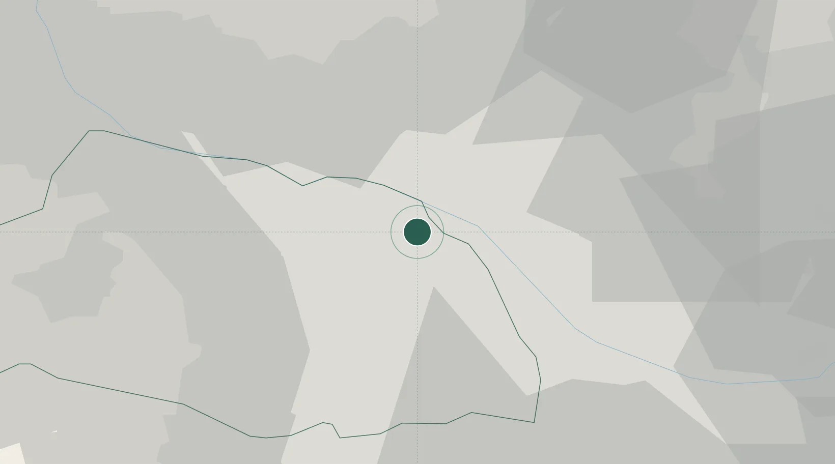
Location
Nearby Logistics Neighbours
Cities
- 1Kuki4 km
- 2Shiraoka9 km
- 3Hasuda11 km
- 4Sakai, Ibaragi12 km
- 5Ina Saitama12 km
Ports
- 1Tokyo Ko49 km
- 2Funabashi55 km
- 3Kawasaki Ko67 km
- 4Chiba Ko68 km
- 5Yokohama Ko73 km
Airports
- 1Iruma Air Base37 km
- 2JMSDF Shimofusa Air Base46 km
- 3Yokota Air Base49 km
- 4Chofu Airport49 km
- 5Utsunomiya Airport50 km
DatabookThe Record of Consolidated Knowledge
Japan beyond logistics?