Transport Functions
Rail
Road
Hub Profile
Region
10
Logistics facilities
1
Location
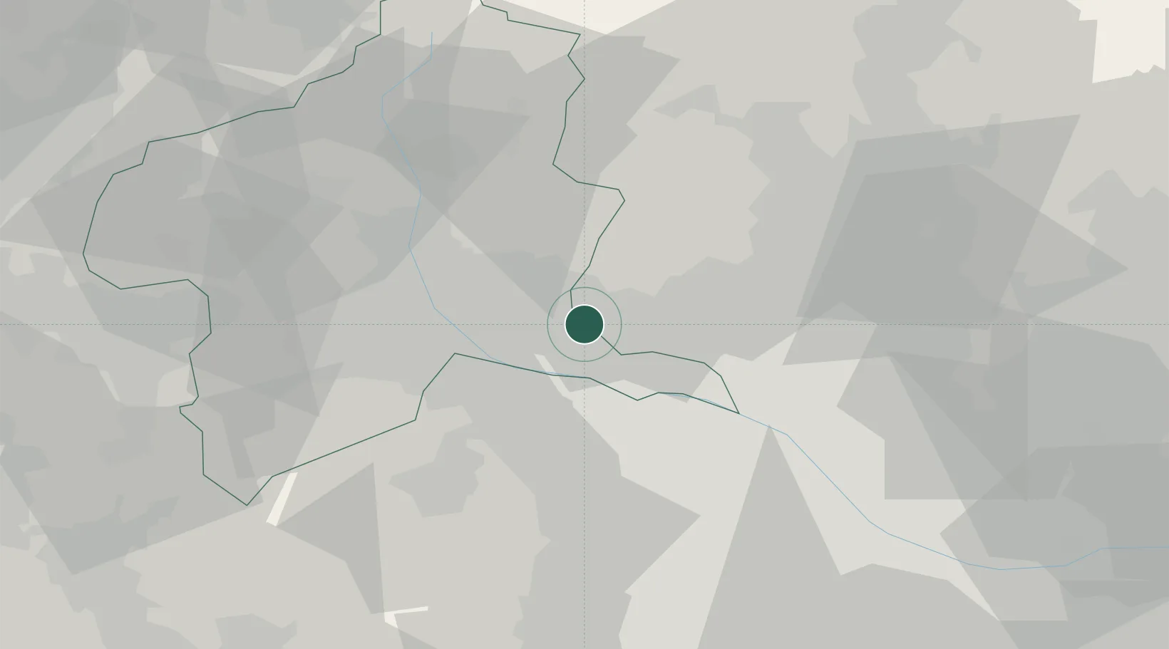
Nearby Logistics Neighbours
Cities
- 1Kiryu9 km
- 2Tatebayashi15 km
- 3Isesaki15 km
- 4Miyagi22 km
- 5Honjyo23 km
Ports
- 1Tokyo Ko81 km
- 2Funabashi90 km
- 3Kawasaki Ko99 km
- 4Yokohama Ko100 km
- 5Chiba Ko104 km
Airports
- 1Utsunomiya Airport50 km
- 2Iruma Air Base54 km
- 3Yokota Air Base65 km
- 4Chofu Airport74 km
- 5JMSDF Shimofusa Air Base83 km
Trade Zones
- 1Gunma Cancer Treatment Technology Regional Revitalization Comprehensive Special Zone31 km
- 2Saitama Next-Generation Automobile Smart Energy Special Zone53 km
- 3Gunma Environmentally Friendly Livestock Promotion Special Zone54 km
- 4Kashiwanoha Campus Special Zone71 km
- 5Tokyo Area National Strategic Special Zone83 km
DatabookThe Record of Consolidated Knowledge
Japan beyond logistics?