UN/LOCODE hub · Japan
JPSEN
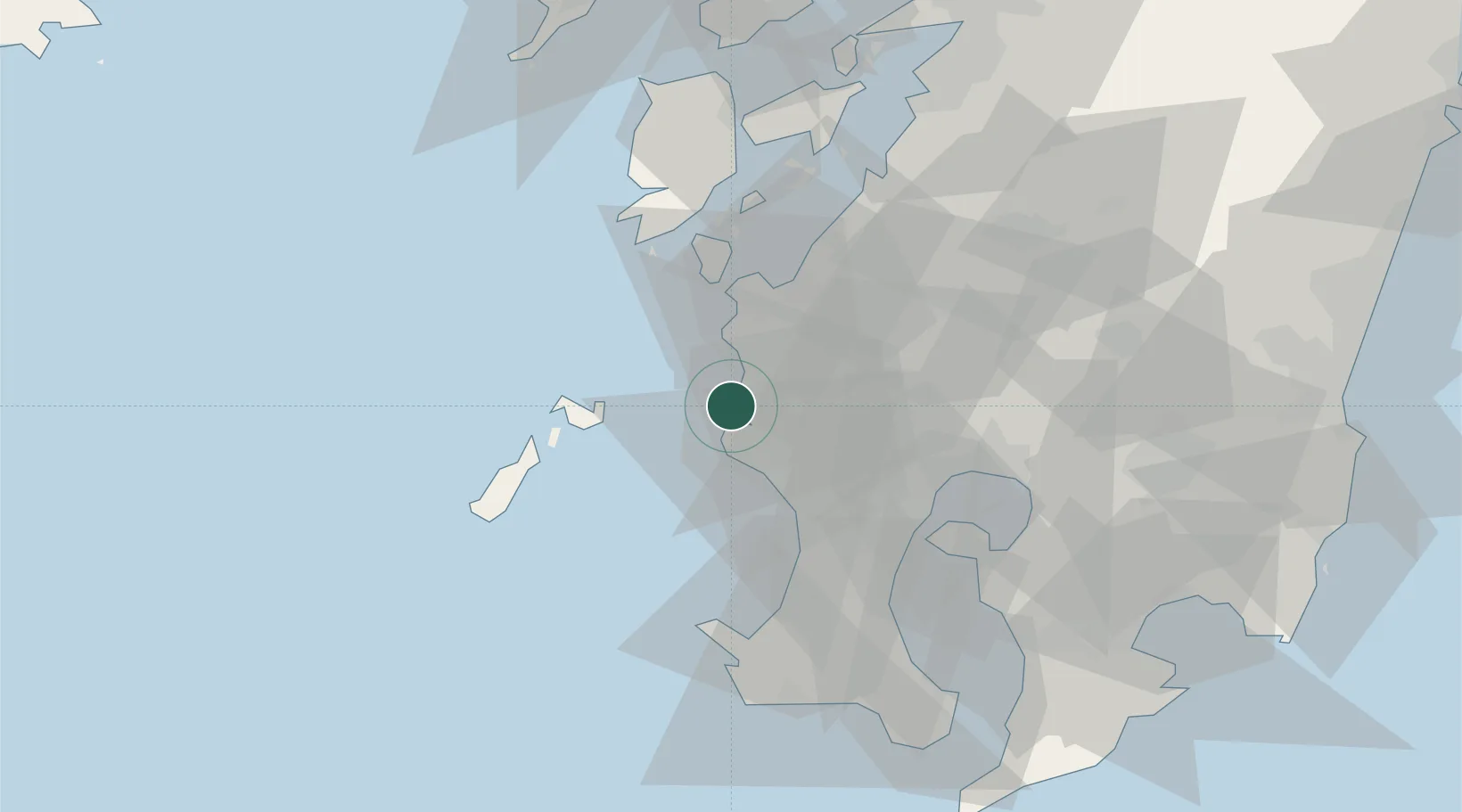
Satsumasendai
31.8594°, 130.1924°
1
Transport functions
1
Container terminals
Transport Functions
Port
Hub Profile
Region
46
Logistics facilities
2
Container terminals
1
Location
Nearby Logistics Neighbours
Cities
- 1Muta, Nagasaki9 km
- 2Satsumasendai11 km
- 3Ichikikushikino17 km
- 4Izumi29 km
- 5Higashisonogi-Gun Cho32 km
Ports
- 1Minamata Ko42 km
- 2Kagoshima Ko47 km
- 3Kiire63 km
- 4Yatsushiro Ko78 km
- 5Misumi Ko86 km
Airports
- 1Kagoshima Airport50 km
- 2Amakusa Airport69 km
- 3JMSDF Kanoya Air Base82 km
- 4Miyazaki Airport119 km
- 5Nagasaki Airport121 km
DatabookThe Record of Consolidated Knowledge
Japan beyond logistics?