UN/LOCODE hub · Japan
JPHGN

Higashisonogi-Gun Cho

32.0333°, 129.9167°
2
Transport functions

Transport Functions

Port
Multimodal
UN/LOCODE

Hub Profile

Region
42
GeoNames

Location

Location of JPHGN
Natural Earth 10m (public domain) · 42 · JPHGN · 32.03, 129.92GoogleOSMYandex

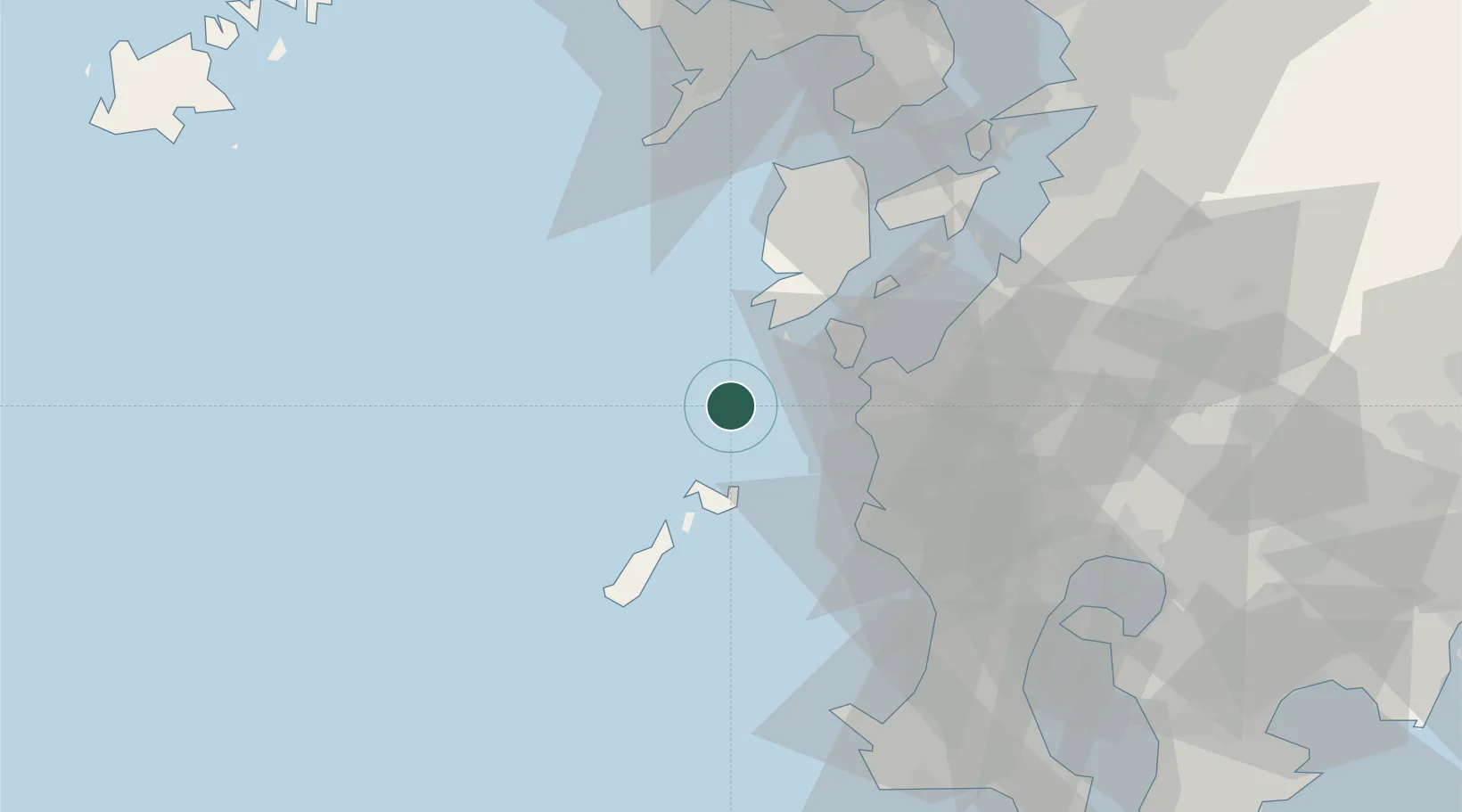
Nearby Logistics Neighbours

Cities
  1. 1Satsumasendai32 km
  2. 2Takahama/Amakusa38 km
  3. 3Muta, Nagasaki41 km
  4. 4Izumi41 km
  5. 5Satsumasendai44 km
Nearest neighbours — logibook spatial index (haversine) over the source coordinates
Ports
  1. 1Minamata Ko48 km
  2. 2Nagasaki76 km
  3. 3Yatsushiro Ko78 km
  4. 4Kagoshima Ko79 km
  5. 5Misumi Ko82 km
Nearest neighbours — logibook spatial index (haversine) over the source coordinates
Airports
  1. 1Amakusa Airport55 km
  2. 2Kagoshima Airport80 km
  3. 3Nagasaki Airport98 km
  4. 4JMSDF Kanoya Air Base115 km
  5. 5Fukue Airport124 km
Nearest neighbours — logibook spatial index (haversine) over the source coordinates
DatabookThe Record of Consolidated Knowledge
Japan beyond logistics?
Browse databook

All Sources

LocationsUN/LOCODE
UN/LOCODE — free
Portsthe NGA World Port Index
Public domain (US gov)
AirportsOurAirports
Public domain
Trade Zonesthe World Bank SEZ database
CC BY 4.0
Trade ZonesOpen Zone Map
CC BY
← Japan locations