Transport Functions
Multimodal
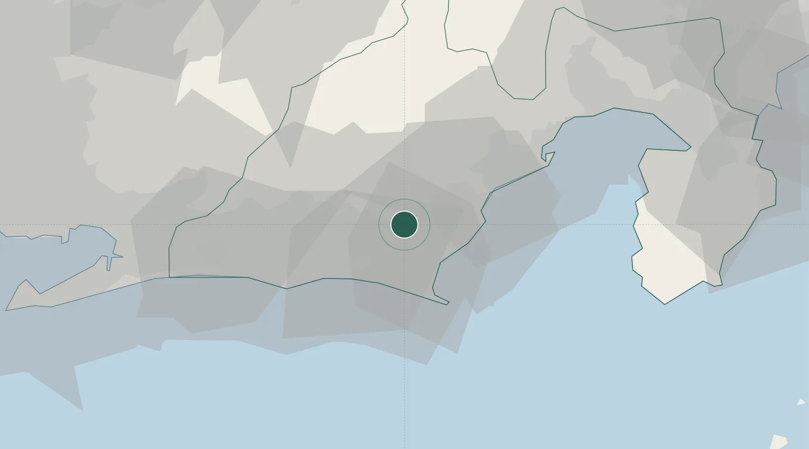
Hub Profile
Place type
Populated place
Region
Shizuoka
Time zone
Asia/Tokyo
Elevation
214 m
Location
Nearby Logistics Neighbours
Cities
- 1Shimada6 km
- 2Fujieda, Shizuoka13 km
- 3Fukuroi20 km
- 4Omaezaki23 km
- 5Shimizu44 km
Ports
- 1Omaezaki Ko26 km
- 2Shimizu Ko41 km
- 3Tagonoura Ko64 km
- 4Mikawa75 km
- 5Shimoda Ko78 km
Airports
- 1Mount Fuji Shizuoka Airport7 km
- 2JASDF Shizuhama Air Base17 km
- 3JASDF Hamamatsu Air Base39 km
- 4Oshima Airport114 km
- 5Niijima Airport117 km
DatabookThe Record of Consolidated Knowledge
Japan beyond logistics?