Transport Functions
Rail
Road
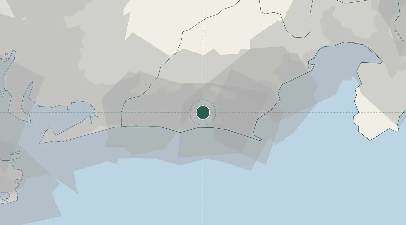
Hub Profile
Place type
Provincial seat
Region
Shizuoka
Population
88,395
Time zone
Asia/Tokyo
Elevation
11 m
Location
Nearby Logistics Neighbours
Cities
- 1Makinohara20 km
- 2Shimada26 km
- 3Omaezaki31 km
- 4Fujieda, Shizuoka33 km
- 5Shinshiro42 km
Ports
- 1Omaezaki Ko33 km
- 2Mikawa57 km
- 3Shimizu Ko61 km
- 4Gamagori Ko64 km
- 5Atsumi78 km
Airports
Trade Zones
DatabookThe Record of Consolidated Knowledge
Japan beyond logistics?