Channel & Berth Profile
Pilotage, Tugs & Services
Pilotage compulsoryYES
Pilotage availableYES
Tug assistanceYES
Potable waterYES
MedicalYES
Garbage disposalYES
Facilities & Capabilities
Container—
Ro-Ro—
Liquid bulk—
Dry bulk—
Oil terminal—
Break bulk—
Dry dock—
RepairsNO
BunkeringYES
Rail link—
Dangerous cargo—
ISPS security—
Harbour Specifications
Harbour size
Large
Harbour type
Coastal (Breakwater)
Shelter
Good
Water body
North Pacific Ocean
Tidal range
8 m
Overhead limit
Yes
Pilotage
Yes
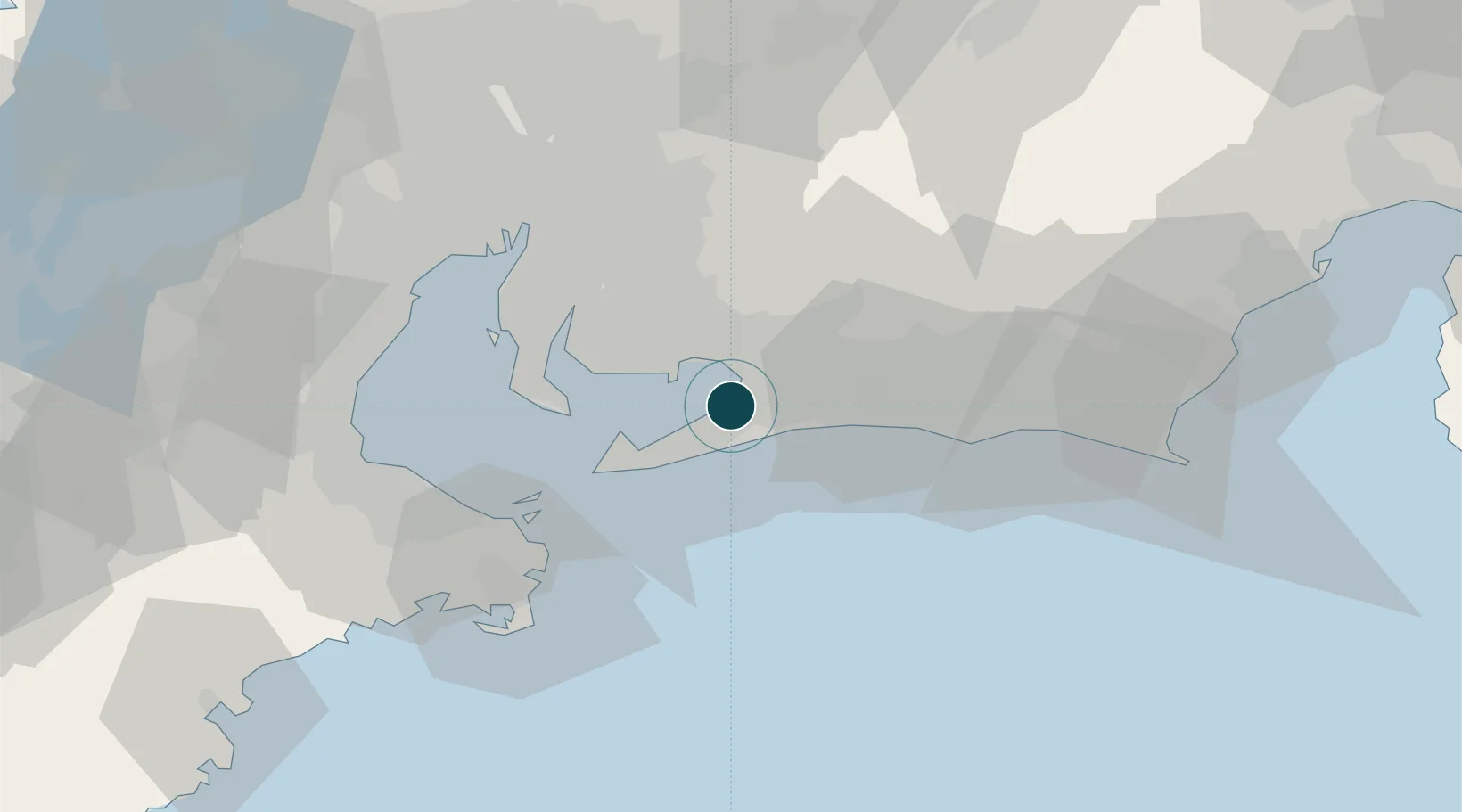
Location
Nearby Logistics Neighbours
Ports
- 1Gamagori Ko14 km
- 2Atsumi22 km
- 3Kinuura Ko35 km
- 4Toba49 km
- 5Nagoya Ko56 km
Airports
Trade Zones
- 1Hamamatsu Future Creation Special Zone26 km
- 2Aichi Prefecture Strategic Special Zone43 km
- 3Toyota Next Generation Energy and Mobility Creation Special Zone49 km
- 4Asias No. 1 Aerospace Industry Cluster Formation Special Zone53 km
- 5Fuji-no-kuni Disaster Mitigation Regional Growth Model Comprehensive Special Zone103 km
DatabookThe Record of Consolidated Knowledge
Japan beyond logistics?