Transport Functions
Multimodal
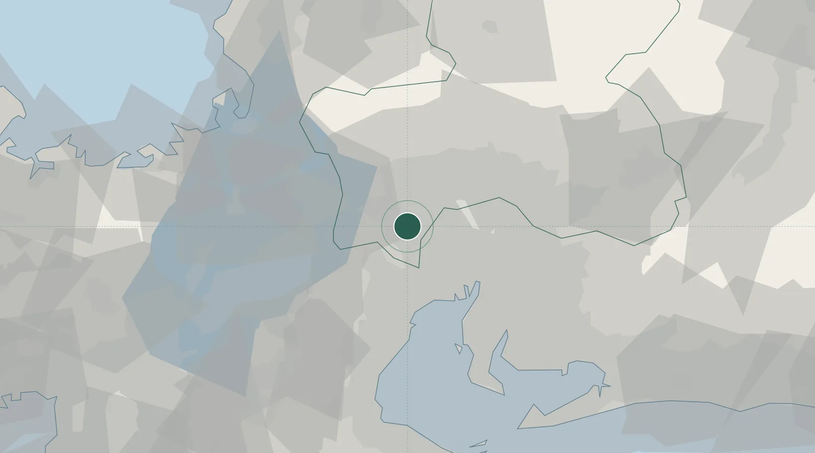
Hub Profile
Region
21
Location
Nearby Logistics Neighbours
Cities
- 1Yoro8 km
- 2Aisai14 km
- 3Inazawa14 km
- 4Tsushima, Aichi15 km
- 5Inabe20 km
Ports
- 1Nagoya Ko32 km
- 2Yokkaichi35 km
- 3Kinuura Ko56 km
- 4Tsuruga Ko66 km
- 5Gamagori Ko74 km
Airports
- 1Gifu Airport25 km
- 2Nagoya Airport / JASDF Komaki Air Base27 km
- 3Chubu Centrair International Airport50 km
- 4Fukui Airport103 km
- 5JASDF Hamamatsu Air Base114 km
DatabookThe Record of Consolidated Knowledge
Japan beyond logistics?