Transport Functions
Multimodal
Hub Profile
Place type
Populated place
Region
Gifu
Population
27,356
Time zone
Asia/Tokyo
Elevation
156 m
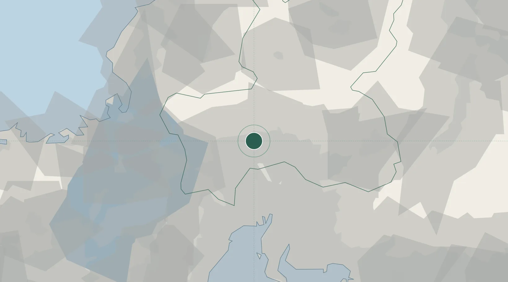
Location
Nearby Logistics Neighbours
Cities
- 1Kakamigahara12 km
- 2Seki12 km
- 3Ibiwaga20 km
- 4Sakahogi20 km
- 5Iwakura Aichi25 km
Ports
- 1Nagoya Ko49 km
- 2Yokkaichi61 km
- 3Tsuruga Ko67 km
- 4Kinuura Ko74 km
- 5Fukui82 km
Airports
Trade Zones
DatabookThe Record of Consolidated Knowledge
Japan beyond logistics?