Transport Functions
Multimodal
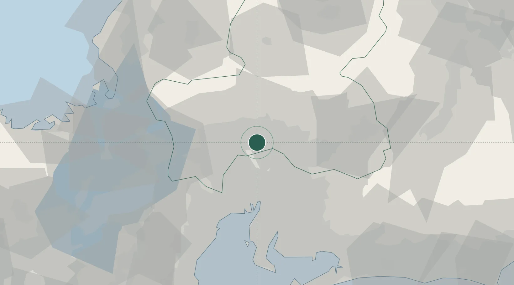
Hub Profile
Place type
Provincial seat
Region
Gifu
Population
144,521
Time zone
Asia/Tokyo
Elevation
40 m
Location
Nearby Logistics Neighbours
Cities
- 1Seki9 km
- 2Yamagata12 km
- 3Iwakura Aichi15 km
- 4Toyoyama, Aichi19 km
- 5Inazawa20 km
Ports
- 1Nagoya Ko39 km
- 2Yokkaichi54 km
- 3Kinuura Ko64 km
- 4Gamagori Ko74 km
- 5Tsuruga Ko77 km
Airports
DatabookThe Record of Consolidated Knowledge
Japan beyond logistics?