Transport Functions
Port
Road
Hub Profile
Place type
Urban district
Region
Fukuoka
Time zone
Asia/Tokyo
Elevation
10 m
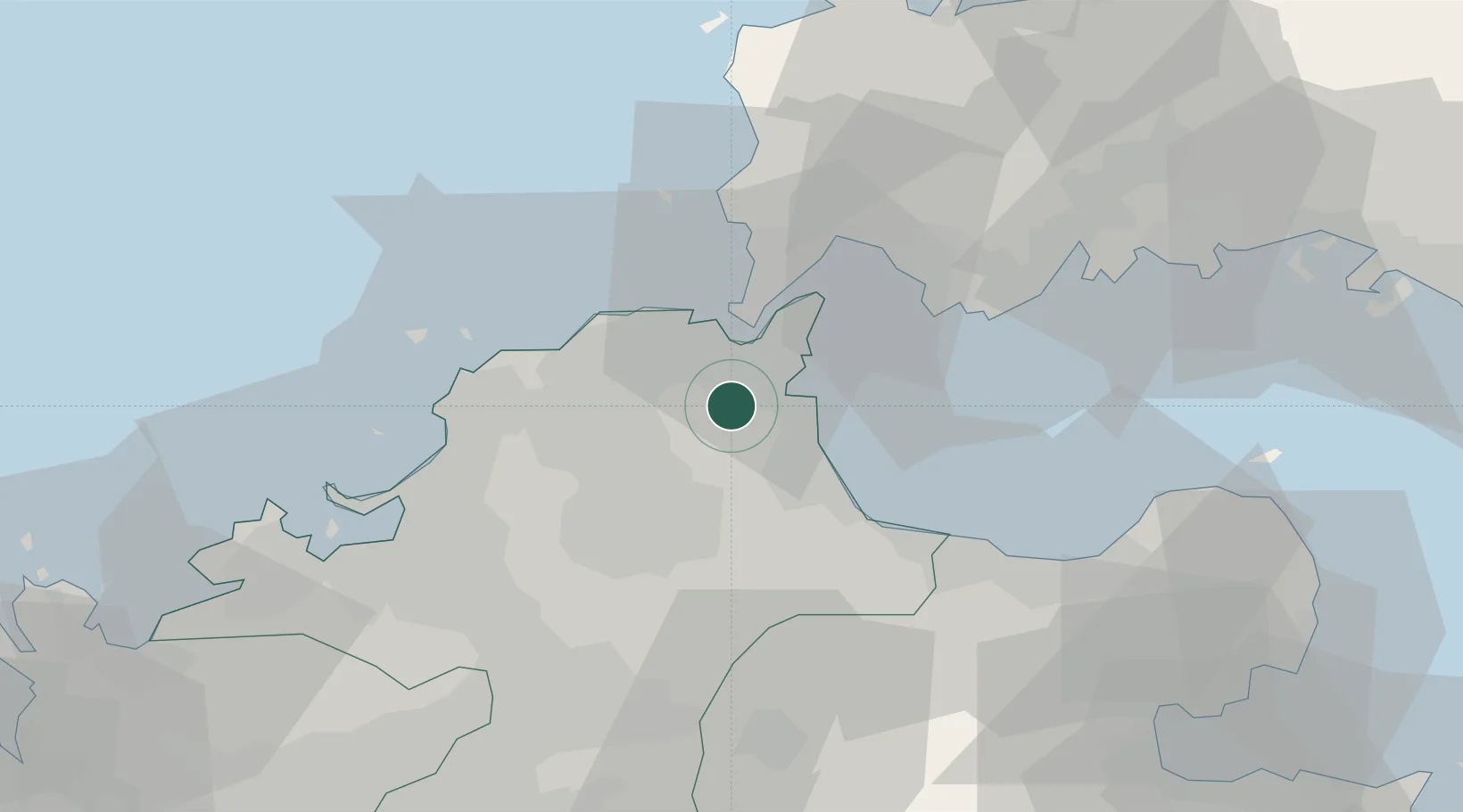
Location
Nearby Logistics Neighbours
Cities
- 1Kitakyushu6 km
- 2Yawata/Kitakyushu10 km
- 3Tobata/Kitakyushu10 km
- 4Wakamatsu/Kitakyushu11 km
- 5Kanmon12 km
Ports
- 1Yahata10 km
- 2Kanda13 km
- 3Wakamatsu Ko13 km
- 4Tobata14 km
- 5Hibikinada16 km
Airports
- 1Kitakyushu Airport15 km
- 2JASDF Tsuiki Air Base19 km
- 3JASDF Ashiya Air Base23 km
- 4Yamaguchi Ube Airport39 km
- 5Fukuoka Airport47 km
DatabookThe Record of Consolidated Knowledge
Japan beyond logistics?