UN/LOCODE hub · Japan
JPENB

Ebino, Miyazaki

32.0333°, 130.8167°
1
Transport functions

Transport Functions

Multimodal
UN/LOCODE

Hub Profile

Region
45
GeoNames

Location

Location of JPENB
Natural Earth 10m (public domain) · 45 · JPENB · 32.03, 130.82GoogleOSMYandex

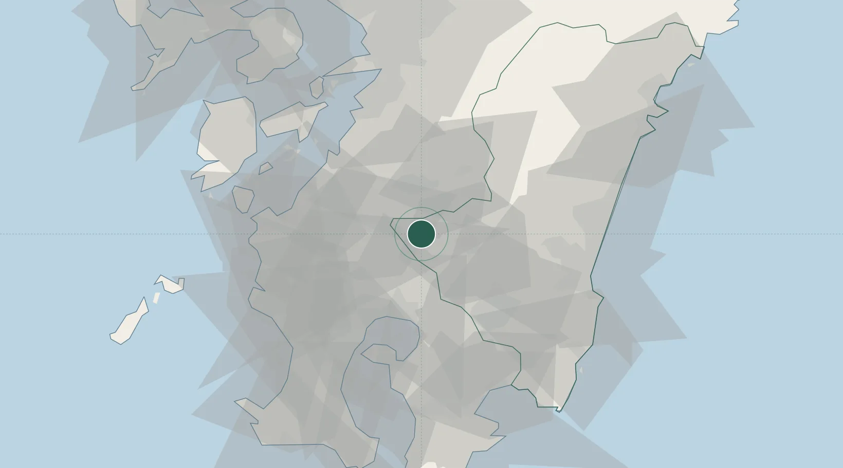
Nearby Logistics Neighbours

Cities
  1. 1Nishiki, Kumamoto19 km
  2. 2Aira38 km
  3. 3Izumi44 km
  4. 4Soo47 km
  5. 5Satsumasendai54 km
Nearest neighbours — logibook spatial index (haversine) over the source coordinates
Ports
  1. 1Minamata Ko45 km
  2. 2Kagoshima Ko55 km
  3. 3Yatsushiro Ko58 km
  4. 4Shibushi Wan69 km
  5. 5Misumi Ko71 km
Nearest neighbours — logibook spatial index (haversine) over the source coordinates
Airports
  1. 1Kagoshima Airport27 km
  2. 2Miyazaki Airport62 km
  3. 3JMSDF Kanoya Air Base74 km
  4. 4Amakusa Airport80 km
  5. 5Kumamoto Airport90 km
Nearest neighbours — logibook spatial index (haversine) over the source coordinates
DatabookThe Record of Consolidated Knowledge
Japan beyond logistics?
Browse databook

All Sources

LocationsUN/LOCODE
UN/LOCODE — free
Portsthe NGA World Port Index
Public domain (US gov)
AirportsOurAirports
Public domain
Trade Zonesthe World Bank SEZ database
CC BY 4.0
Trade ZonesOpen Zone Map
CC BY
← Japan locations