Transport Functions
Multimodal
Hub Profile
Place type
District seat
Region
Umbria
Population
1,221
Time zone
Europe/Rome
Elevation
351 m
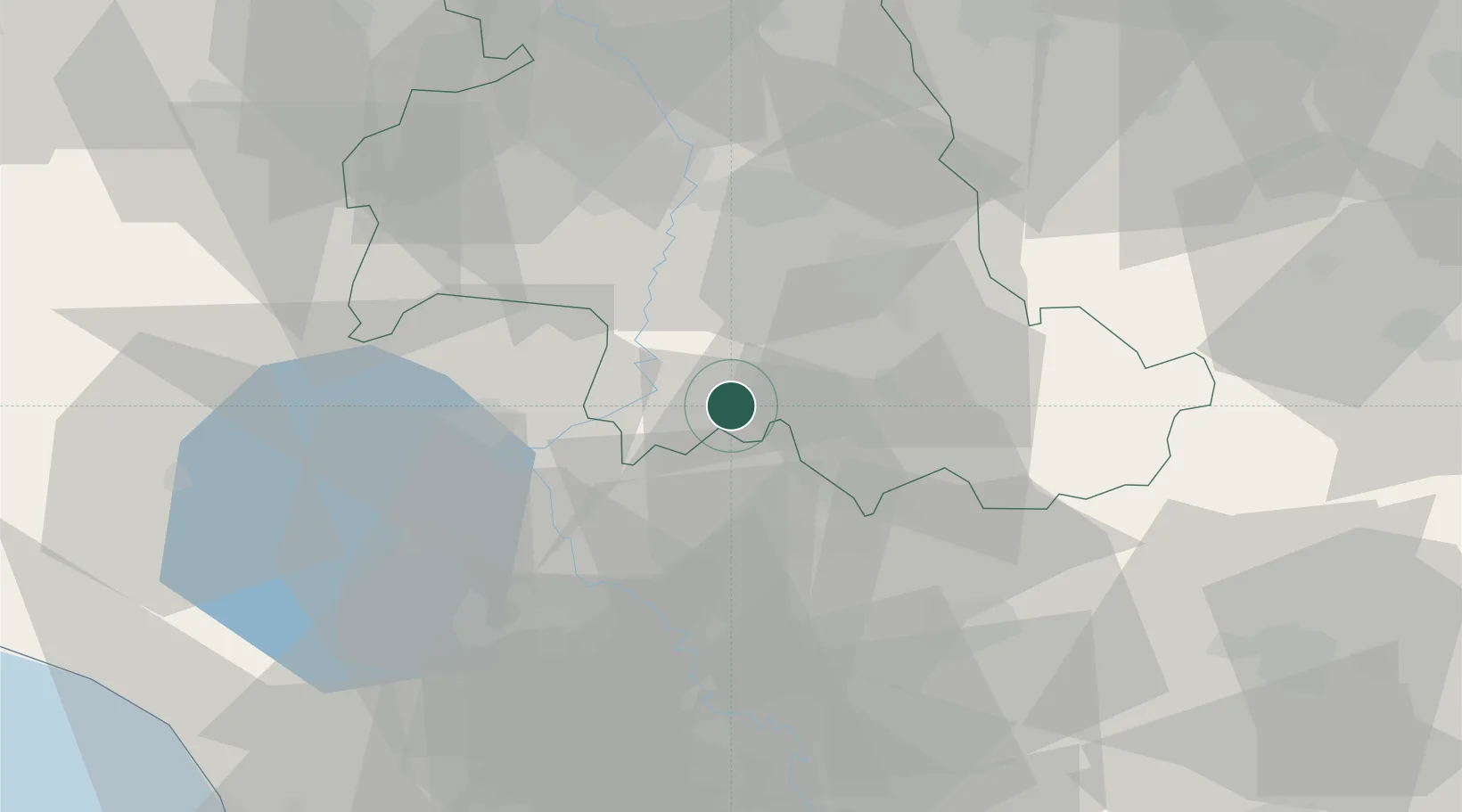
Location
Nearby Logistics Neighbours
Cities
- 1Acquasparta10 km
- 2Todi10 km
- 3San Gemini17 km
- 4Foligno25 km
- 5Narni28 km
Ports
- 1Civitavecchia96 km
- 2Fiumicino113 km
- 3Porto Ercole114 km
- 4San Benedetto Del Tronto114 km
- 5Civitanova Marche116 km
Airports
DatabookThe Record of Consolidated Knowledge
Italy beyond logistics?