Export Processing Zone · Croatia

Port of Pula Free Zone Active
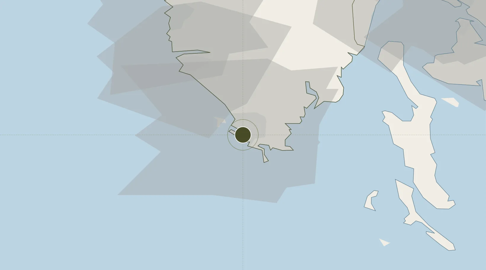
44.8634°, 13.8337°
6 ha
Zone area
3.5 km
Nearest port
7.7 km
Nearest airport

Gateway access

Nearest neighbours — logibook spatial index (haversine) over the source coordinates

Zone profile

Zone type
Export Processing Zone
Open Zone Map
Region
Istarska
Open Zone Map
Status
Active
Open Zone Map
Management
Public
Open Zone Map
Operator
Lucka Uprava Pula
Open Zone Map
Legal framework
Free Zones Act (Official Gazette 44/96, 92/05, 85/08), Regulation (EU) No 952/2013 of the European Parliament and of the Council of 9 October 2013 laying down the Union Customs Code (recast)
Open Zone Map

Location

Location of ozm-1721
Natural Earth 10m (public domain) · Istarska · ozm-1721 · 44.86, 13.83GoogleOSMYandex

Nearby Logistics Neighbours

Ports
  1. 1Pula4 km
  2. 2Zaliv Rasa28 km
  3. 3Rovinj29 km
  4. 4Umag68 km
  5. 5Omisalj69 km
Nearest neighbours — logibook spatial index (haversine) over the source coordinates
Airports
  1. 1Pula Airport8 km
  2. 2Portorož Airport70 km
  3. 3Rijeka Airport70 km
  4. 4Trieste Airport111 km
  5. 5Federico Fellini International Airport135 km
Nearest neighbours — logibook spatial index (haversine) over the source coordinates
Cities
  1. 1Pula0 km
  2. 2Galizana7 km
  3. 3Brioni8 km
  4. 4Fazana11 km
  5. 5Tunarica24 km
Nearest neighbours — logibook spatial index (haversine) over the source coordinates
Trade Zones
  1. 1Port of Rijeka Free Zone50 km
  2. 2Free Zone Kukuljanovo75 km
  3. 3Free Port of Trieste87 km
  4. 4Free Port of Venice135 km
  5. 5Consorzio Zona Industriale e Porto Fluviale di Padova161 km
Nearest neighbours — logibook spatial index (haversine) over the source coordinates
DatabookThe Record of Consolidated Knowledge
Croatia beyond logistics?
Browse databook

All Sources

Trade ZonesOpen Zone Map
CC BY
Portsthe NGA World Port Index
Public domain (US gov)
AirportsOurAirports
Public domain
LocationsUN/LOCODE
UN/LOCODE — free
← Croatia trade zones