Transport Functions
Rail
Road
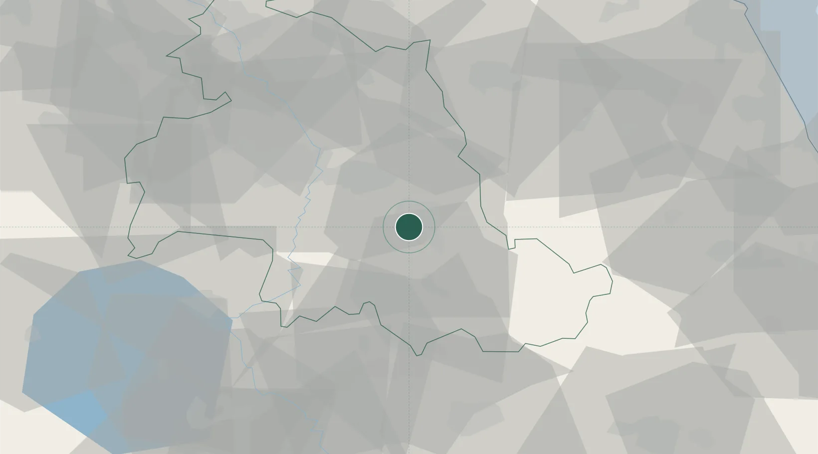
Hub Profile
Place type
District seat
Region
Umbria
Population
56,918
Time zone
Europe/Rome
Elevation
234 m
Location
Nearby Logistics Neighbours
Cities
- 1Santa Maria degli Angeli16 km
- 2Nocera Umbra20 km
- 3Gaifana25 km
- 4Massa Martana25 km
- 5Ponte Valleceppi26 km
Ports
- 1Civitanova Marche93 km
- 2Senigallia96 km
- 3San Benedetto Del Tronto97 km
- 4Ancona99 km
- 5Fano104 km
Airports
- 1Perugia San Francesco d'Assisi – Umbria International Airport22 km
- 2Viterbo Airport78 km
- 3Marche Airport92 km
- 4Guidonia Air Base107 km
- 5Rome Urbe Airport112 km
Trade Zones
DatabookThe Record of Consolidated Knowledge
Italy beyond logistics?