Seaport · Italy
CivitavecchiaITCVV
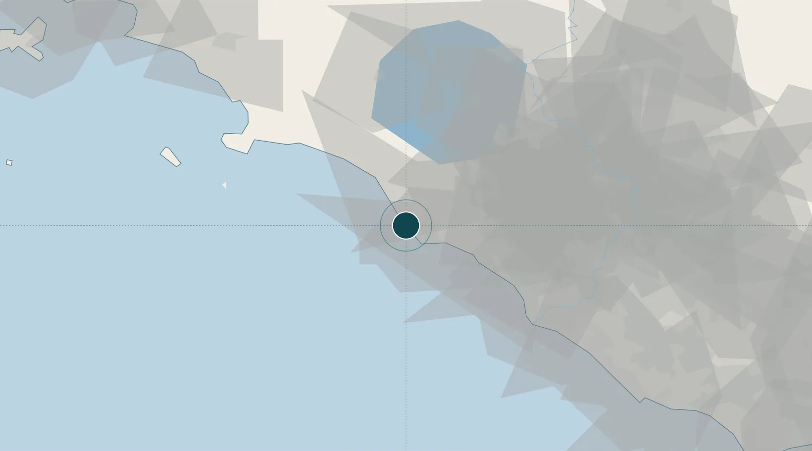
42.1020°, 11.7710°
12.5 m
Channel depth
2
Container terminals
96.9
Port liner connectivity
Channel & Berth Profile
Pilotage, Tugs & Services
Pilotage compulsoryYES
Pilotage availableYES
Pilotage advisableYES
Local assistanceYES
Tug assistanceYES
Potable waterYES
Diesel bunkersYES
MedicalYES
Garbage disposalYES
Facilities & Capabilities
Container—
Ro-Ro—
Liquid bulk—
Dry bulk—
Oil terminal—
Break bulk—
Dry dock—
RepairsNO
BunkeringYES
Rail linkYES
Dangerous cargo—
ISPS security—
Harbour Specifications
Harbour size
Large
Harbour type
Coastal (Breakwater)
Shelter
Fair
Water body
Tyrrhenian Sea; Mediterranean Sea; North Atlantic Ocean
Pilotage
Yes
Liner Connectivity
96.9
PLSCI
Port Liner Shipping Connectivity Index for Civitavecchia, as published by UNCTAD for the latest available quarter. Higher values indicate stronger scheduled liner-shipping integration.
Shown relative to the highest per-port PLSCI in the dataset (1,657.9).
Location
Container Terminals · 2
CIVITAVECCHIA FRUIT & FOREST TERMINAL
CFFT CIVITAVECCHIA FRUIT & FOREST TERMINAL S.P.A.
ROMA TERMINAL CONTAINER
RTC ROMA TERMINAL CONTAINER SPA
Nearby Logistics Neighbours
Ports
- 1Fiumicino52 km
- 2Porto Ercole57 km
- 3Porto Santo Stefano65 km
- 4Giglio Porto76 km
- 5Anzio - Nettuno102 km
Cities
- 1Santa Marinella10 km
- 2Tarquinia17 km
- 3Montalto di Castro30 km
- 4Ladispoli32 km
- 5Sutri40 km
Airports
DatabookThe Record of Consolidated Knowledge
Italy beyond logistics?