Transport Functions
Rail
Road
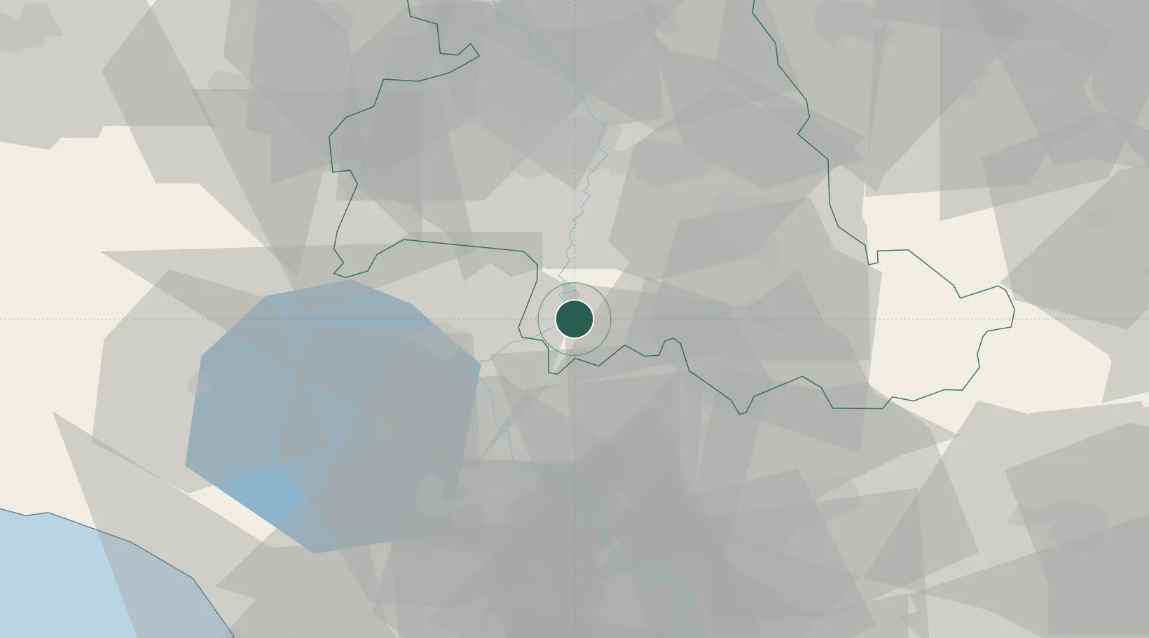
Hub Profile
Place type
District seat
Region
Umbria
Population
5,620
Time zone
Europe/Rome
Elevation
400 m
Location
Nearby Logistics Neighbours
Cities
- 1Massa Martana10 km
- 2Acquasparta17 km
- 3Castiglione in Teverina22 km
- 4San Gemini22 km
- 5Mercatello23 km
Ports
- 1Civitavecchia92 km
- 2Porto Ercole106 km
- 3Porto Santo Stefano111 km
- 4Fiumicino114 km
- 5San Benedetto Del Tronto123 km
Airports
DatabookThe Record of Consolidated Knowledge
Italy beyond logistics?