Medium airport · Italy

Rome Urbe AirportLIRU
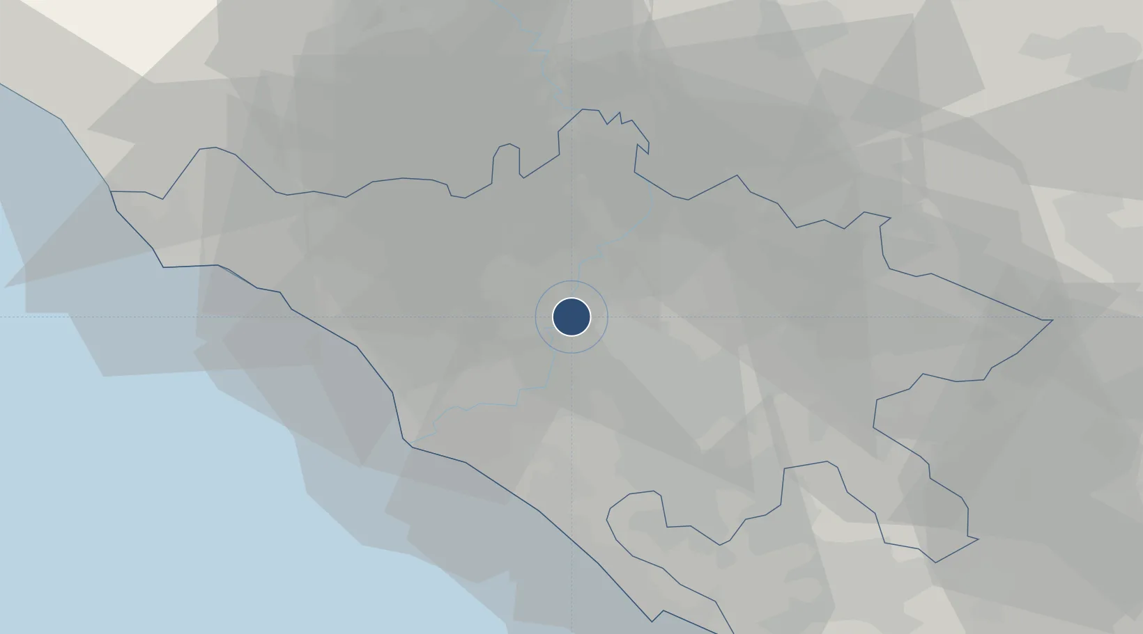
41.9521°, 12.5022°
3,556 ft
Longest runway
1
Runways
55 ft
Elevation

Runway & Layout

Rome Urbe Airport runway & taxiway layout
Runway & taxiway layout — OpenStreetMap (ODbL) / OurAirports

Radio Frequencies

TWR
123.8 MHz
GND
122.7 MHz
OurAirports

Navaids

URB NDB Urbe 285 kHz
OurAirports

Runways · 1

RunwayDimensions SurfaceTrue headingLit
16/34 3,556 × 98ft Asphalt 160°
OurAirports

Airport Specifications

ICAO code
LIRU
OurAirports
Airport class
Medium airport
OurAirports
Scheduled service
No
OurAirports
Runway surface
Asphalt
OurAirports
Served city
Rome
OurAirports

Location

Location of LIRU
Natural Earth 10m (public domain) · Roma · LIRU · 41.95, 12.50GoogleOSMYandex

Nearby Logistics Neighbours

Airports
  1. 1Ciampino–G. B. Pastine International Airport19 km
  2. 2Guidonia Air Base20 km
  3. 3Rome–Fiumicino Leonardo da Vinci International Airport26 km
  4. 4Pratica Di Mare Air Base33 km
  5. 5Latina Air Base57 km
Nearest neighbours — logibook spatial index (haversine) over the source coordinates
Cities
  1. 1Rome (Roma)6 km
  2. 2Torrenova15 km
  3. 3Riano16 km
  4. 4Ponte Galeria20 km
  5. 5Capena20 km
Nearest neighbours — logibook spatial index (haversine) over the source coordinates
Ports
  1. 1Fiumicino31 km
  2. 2Anzio - Nettuno57 km
  3. 3Civitavecchia63 km
  4. 4San Felice Circeo95 km
  5. 5Terracina97 km
Nearest neighbours — logibook spatial index (haversine) over the source coordinates
Trade Zones
  1. 1Abruzzo Special Economic Zone79 km
  2. 2Ionian Special Economic Zone126 km
  3. 3Campania Special Economic Zone (Naples and Salerno)166 km
  4. 4Puglia (Apulia) Special Economic Zone Area279 km
  5. 5Basilicata Special Economic Zone300 km
Nearest neighbours — logibook spatial index (haversine) over the source coordinates
DatabookThe Record of Consolidated Knowledge
Italy beyond logistics?
Browse databook

All Sources

AirportsOurAirports
Public domain
Portsthe NGA World Port Index
Public domain (US gov)
LocationsUN/LOCODE
UN/LOCODE — free
Trade Zonesthe World Bank SEZ database
CC BY 4.0
Trade ZonesOpen Zone Map
CC BY
InfrastructureOpenStreetMap
ODbL 1.0
← Italy airports