Seaport · Italy

Civitanova MarcheITIOA

43.3160°, 13.7340°
Civitanova Marche is also a UN/LOCODE logistics hub →

Channel & Berth Profile

NGA World Port Index

Facilities & Capabilities

Container
Ro-Ro
Liquid bulk
Dry bulk
Oil terminal
Break bulk
Dry dock
Repairs
Bunkering
Rail link
Dangerous cargo
ISPS security
NGA World Port Index

Harbour Specifications

Harbour size
Small
NGA World Port Index
Water body
Adriatic Sea; Mediterranean Sea; North Atlantic Ocean
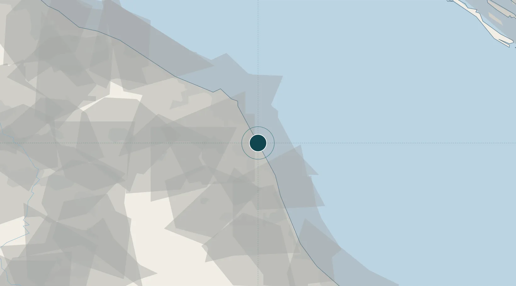
NGA World Port Index

Location

Location of ITIOA
Natural Earth 10m (public domain) · Macerata · ITIOA · 43.32, 13.73GoogleOSMYandex

Nearby Logistics Neighbours

Ports
  1. 1Ancona40 km
  2. 2San Benedetto Del Tronto42 km
  3. 3Senigallia61 km
  4. 4Giulianova65 km
  5. 5Fano83 km
Nearest neighbours — logibook spatial index (haversine) over the source coordinates
Cities
  1. 1Porto Sant'Elpidio8 km
  2. 2Montegranaro12 km
  3. 3Monte Urano14 km
  4. 4Porto Recanati14 km
  5. 5Porto San Giorgio16 km
Nearest neighbours — logibook spatial index (haversine) over the source coordinates
Airports
  1. 1Marche Airport45 km
  2. 2Perugia San Francesco d'Assisi – Umbria International Airport102 km
  3. 3Abruzzo Airport105 km
  4. 4Federico Fellini International Airport120 km
  5. 5Cervia Air Base153 km
Nearest neighbours — logibook spatial index (haversine) over the source coordinates
Trade Zones
  1. 1Abruzzo Special Economic Zone119 km
  2. 2Port of Pula Free Zone172 km
  3. 3Ionian Special Economic Zone179 km
  4. 4Port of Rijeka Free Zone213 km
  5. 5Port of Split Free Zone218 km
Nearest neighbours — logibook spatial index (haversine) over the source coordinates
DatabookThe Record of Consolidated Knowledge
Italy beyond logistics?
Browse databook

All Sources

Portsthe NGA World Port Index
Public domain (US gov)
AirportsOurAirports
Public domain
LocationsUN/LOCODE
UN/LOCODE — free
Trade Zonesthe World Bank SEZ database
CC BY 4.0
Trade ZonesOpen Zone Map
CC BY
← Italy ports