Medium airport · Italy
Viterbo AirportLIRV
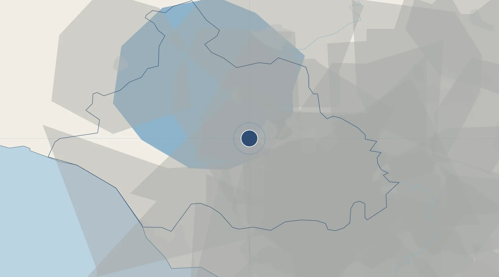
42.4302°, 12.0642°
4,265 ft
Longest runway
3
Runways
992 ft
Elevation
Runway & Layout

Radio Frequencies
TWR
122.1 MHz
Navaids
VIB NDB Viterbo 480 kHz
Runways · 3
| Runway | Dimensions | Surface | True heading | Lit |
|---|---|---|---|---|
| 04C/22C | 4,265 × 164ft | ASPH | 038° | — |
| 04L/22R | 3,297 × 82ft | Asphalt | 038° | — |
| 04R/22L | 1,936 × 112ft | Asphalt | 039° | — |
Airport Specifications
ICAO code
LIRV
Airport class
Medium airport
Scheduled service
No
Runway surface
ASPH
Served city
Viterbo
Location
Nearby Logistics Neighbours
Airports
Cities
- 1Soriano nel Cimino14 km
- 2Caprarola19 km
- 3Attigliano20 km
- 4Bagnoregio21 km
- 5Sutri25 km
Ports
- 1Civitavecchia44 km
- 2Porto Ercole70 km
- 3Fiumicino74 km
- 4Porto Santo Stefano77 km
- 5Giglio Porto94 km
Trade Zones
DatabookThe Record of Consolidated Knowledge
Italy beyond logistics?