Economic Revitalization Project · Italy

Ionian Special Economic Zone Active
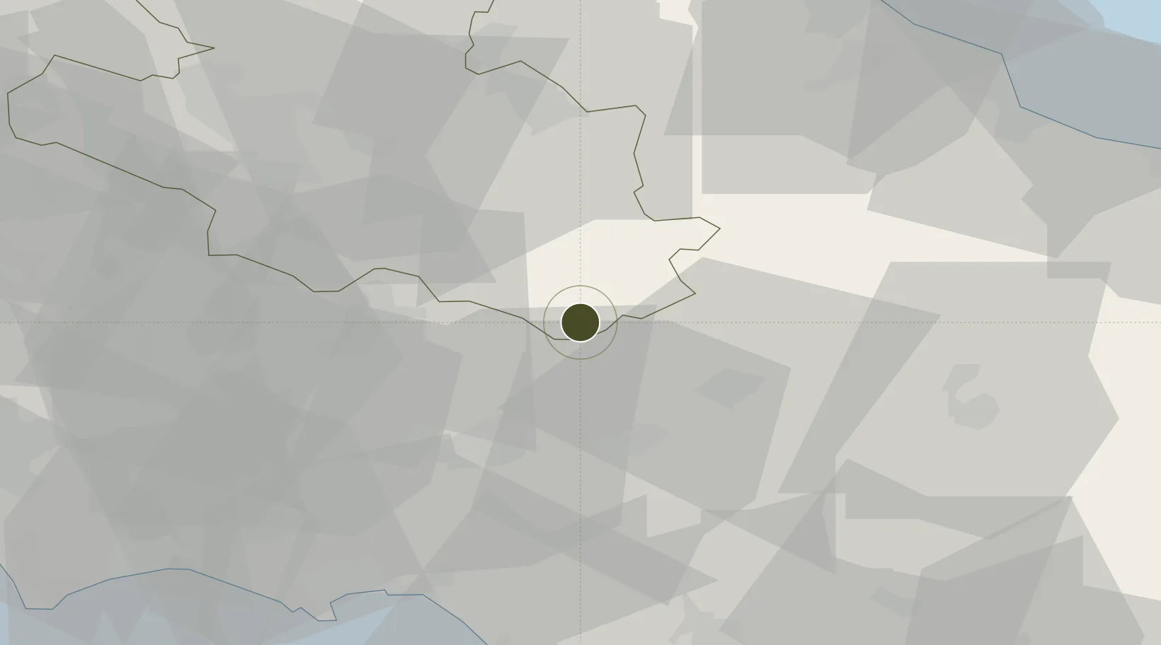
41.7166°, 13.9908°
2,490 ha
Zone area
60.3 km
Nearest port
73.3 km
Nearest airport

Gateway access

Nearest neighbours — logibook spatial index (haversine) over the source coordinates

Zone profile

Zone type
Economic Revitalization Project
Open Zone Map
Region
L'Aquila
Open Zone Map
Status
Active
Open Zone Map
Management
Public
Open Zone Map
Operator
Regional Council of Molise
Open Zone Map
Legal framework
Council of Ministers' Decree No. 12 issued on 25 January 2018, Italian Decree No. 91 of 2017, Italian Law No. 123 of 2017
Open Zone Map

Location

Location of ozm-2530
Natural Earth 10m (public domain) · L'Aquila · ozm-2530 · 41.72, 13.99GoogleOSMYandex

Nearby Logistics Neighbours

Ports
  1. 1Formia60 km
  2. 2Gaeta65 km
  3. 3Vasto75 km
  4. 4Terracina78 km
  5. 5Ortona79 km
Nearest neighbours — logibook spatial index (haversine) over the source coordinates
Airports
  1. 1Grazzanise Air Base73 km
  2. 2Abruzzo Airport81 km
  3. 3Latina Air Base92 km
  4. 4Naples International Airport96 km
  5. 5Guidonia Air Base108 km
Nearest neighbours — logibook spatial index (haversine) over the source coordinates
Cities
  1. 1Atina19 km
  2. 2Casalvieri25 km
  3. 3Pettoranello30 km
  4. 4Isernia30 km
  5. 5Broccostella30 km
Nearest neighbours — logibook spatial index (haversine) over the source coordinates
DatabookThe Record of Consolidated Knowledge
Italy beyond logistics?
Browse databook

All Sources

Trade ZonesOpen Zone Map
CC BY
Portsthe NGA World Port Index
Public domain (US gov)
AirportsOurAirports
Public domain
LocationsUN/LOCODE
UN/LOCODE — free
← Italy trade zones