Transport Functions
Rail
Road
Multimodal
Hub Profile
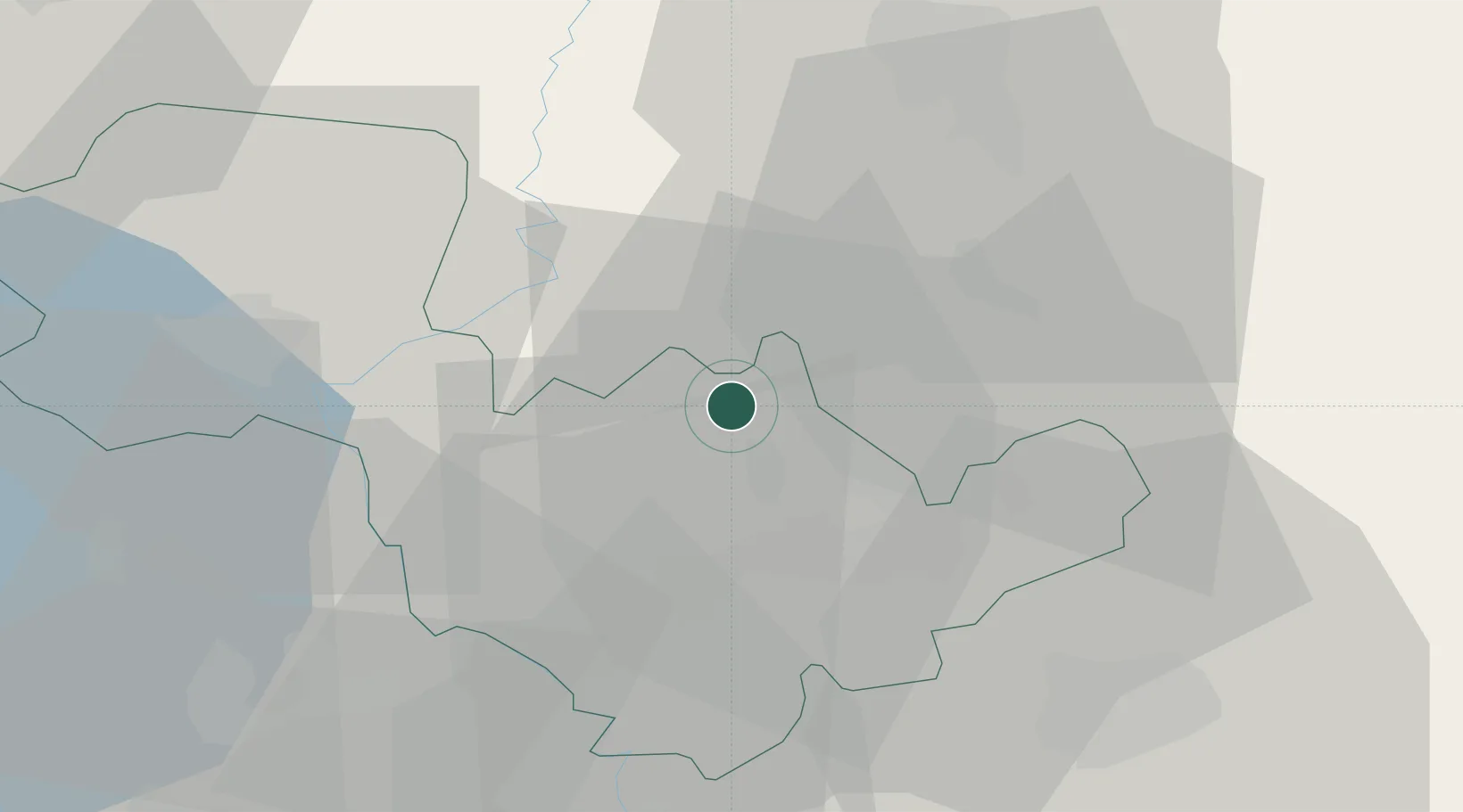
Place type
District seat
Region
Umbria
Population
3,161
Time zone
Europe/Rome
Elevation
320 m
Location
Nearby Logistics Neighbours
Cities
- 1San Gemini7 km
- 2Massa Martana10 km
- 3Todi17 km
- 4Narni19 km
- 5Arrone21 km
Ports
- 1Civitavecchia91 km
- 2Fiumicino105 km
- 3San Benedetto Del Tronto114 km
- 4Porto Ercole114 km
- 5Giulianova117 km
Airports
DatabookThe Record of Consolidated Knowledge
Italy beyond logistics?