Channel & Berth Profile
Pilotage, Tugs & Services
Pilotage compulsoryYES
Pilotage availableYES
Pilotage advisableYES
Tug assistanceYES
Potable waterYES
Diesel bunkersNO
MedicalYES
Garbage disposalYES
Facilities & Capabilities
Container—
Ro-Ro—
Liquid bulk—
Dry bulk—
Oil terminal—
Break bulk—
Dry dock—
RepairsNO
BunkeringNO
Rail linkYES
Dangerous cargo—
ISPS security—
Harbour Specifications
Harbour size
Small
Harbour type
Canal or Lake
Shelter
Fair
Water body
Tyrrhenian Sea; Mediterranean Sea; North Atlantic Ocean
Overhead limit
Yes
Pilotage
Yes
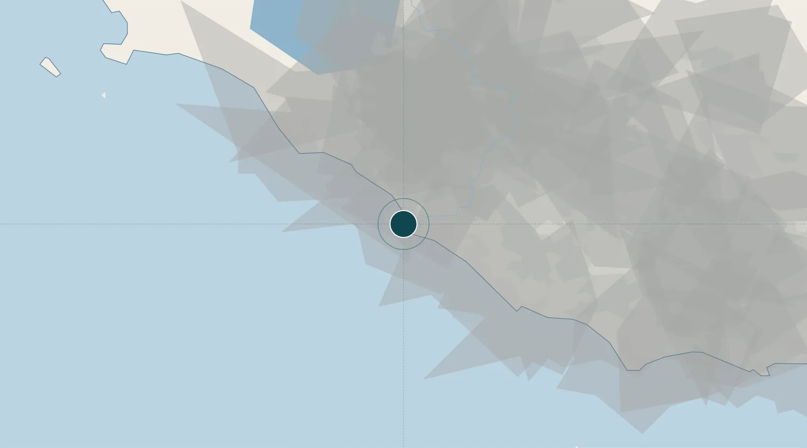
Location
Nearby Logistics Neighbours
Ports
- 1Anzio - Nettuno51 km
- 2Civitavecchia52 km
- 3San Felice Circeo95 km
- 4Terracina103 km
- 5Porto Ercole108 km
Cities
- 1Ostia8 km
- 2Fregene9 km
- 3Ponte Galeria12 km
- 4Acilia13 km
- 5Ladispoli21 km
Airports
DatabookThe Record of Consolidated Knowledge
Italy beyond logistics?