Transport Functions
Rail
Road
Hub Profile
Place type
District seat
Region
Umbria
Population
5,279
Time zone
Europe/Rome
Elevation
240 m
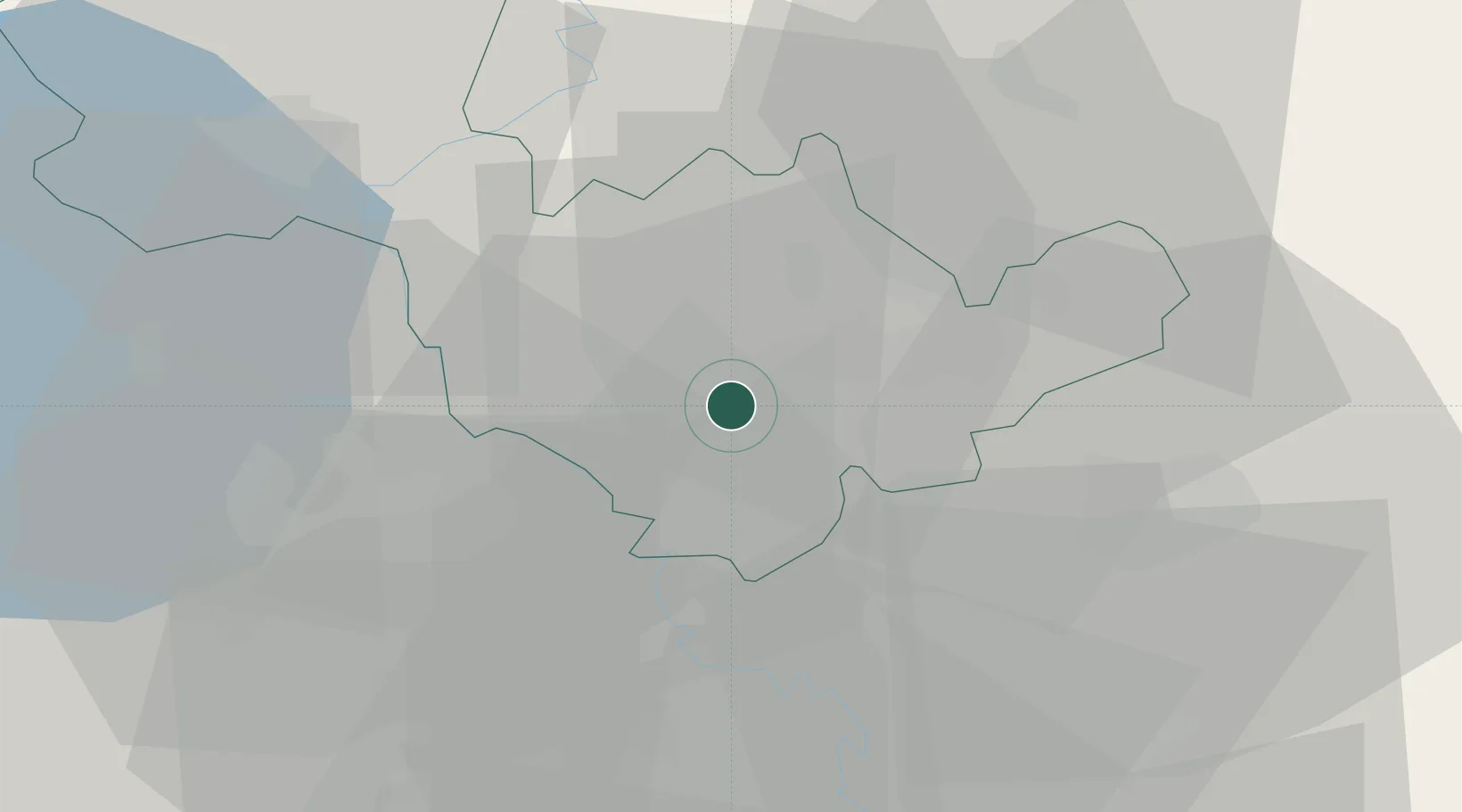
Location
Nearby Logistics Neighbours
Cities
- 1San Gemini11 km
- 2Otricoli12 km
- 3Calvi dell'Umbria14 km
- 4Magliano Sabina17 km
- 5Acquasparta19 km
Ports
- 1Civitavecchia77 km
- 2Fiumicino87 km
- 3Porto Ercole108 km
- 4Porto Santo Stefano115 km
- 5Anzio - Nettuno120 km
Airports
Trade Zones
DatabookThe Record of Consolidated Knowledge
Italy beyond logistics?