Seaport · Italy

San Benedetto Del TrontoITSDB

42.9600°, 13.8920°
San Benedetto Del Tronto is also a UN/LOCODE logistics hub →

Channel & Berth Profile

NGA World Port Index

Facilities & Capabilities

Container
Ro-Ro
Liquid bulk
Dry bulk
Oil terminal
Break bulk
Dry dock
Repairs
Bunkering
Rail link
Dangerous cargo
ISPS security
NGA World Port Index

Harbour Specifications

Harbour size
Small
NGA World Port Index
Water body
Adriatic Sea; Mediterranean Sea; North Atlantic Ocean
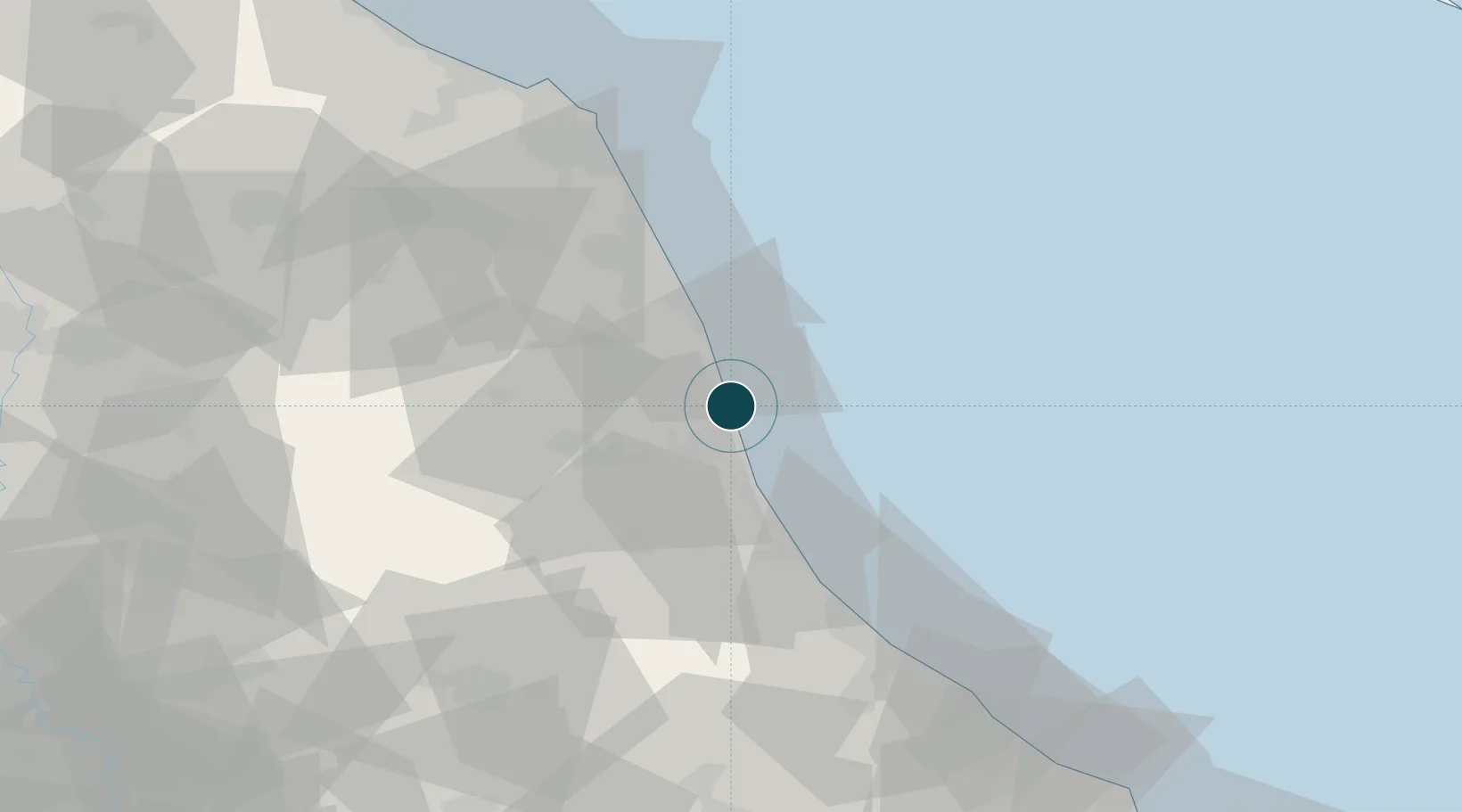
NGA World Port Index

Location

Location of ITSDB
Natural Earth 10m (public domain) · Ascoli Piceno · ITSDB · 42.96, 13.89GoogleOSMYandex

Nearby Logistics Neighbours

Ports
  1. 1Giulianova24 km
  2. 2Civitanova Marche42 km
  3. 3Pescara62 km
  4. 4Ortona80 km
  5. 5Ancona81 km
Nearest neighbours — logibook spatial index (haversine) over the source coordinates
Cities
  1. 1Cupra Marittima7 km
  2. 2Monsampolo del Tronto11 km
  3. 3Pedaso16 km
  4. 4Colli del Tronto17 km
  5. 5Carassai19 km
Nearest neighbours — logibook spatial index (haversine) over the source coordinates
Airports
  1. 1Abruzzo Airport63 km
  2. 2Marche Airport85 km
  3. 3Perugia San Francesco d'Assisi – Umbria International Airport113 km
  4. 4Guidonia Air Base143 km
  5. 5Federico Fellini International Airport157 km
Nearest neighbours — logibook spatial index (haversine) over the source coordinates
Trade Zones
  1. 1Abruzzo Special Economic Zone87 km
  2. 2Ionian Special Economic Zone139 km
  3. 3Port of Pula Free Zone212 km
  4. 4Port of Split Free Zone214 km
  5. 5Split-Dalmatia Free Zone217 km
Nearest neighbours — logibook spatial index (haversine) over the source coordinates
DatabookThe Record of Consolidated Knowledge
Italy beyond logistics?
Browse databook

All Sources

Portsthe NGA World Port Index
Public domain (US gov)
AirportsOurAirports
Public domain
LocationsUN/LOCODE
UN/LOCODE — free
Trade Zonesthe World Bank SEZ database
CC BY 4.0
Trade ZonesOpen Zone Map
CC BY
← Italy ports