UN/LOCODE hub · Italy
ITGMN

San Gemini

42.6167°, 12.5500°
3,375
Population
1
Transport functions

Transport Functions

Multimodal
UN/LOCODE

Hub Profile

Place type
District seat
GeoNames
Region
Umbria
GeoNames
Population
3,375
GeoNames
Time zone
Europe/Rome
GeoNames
Elevation
337 m
GeoNames

Location

Location of ITGMN
Natural Earth 10m (public domain) · Umbria · ITGMN · 42.62, 12.55GoogleOSMYandex

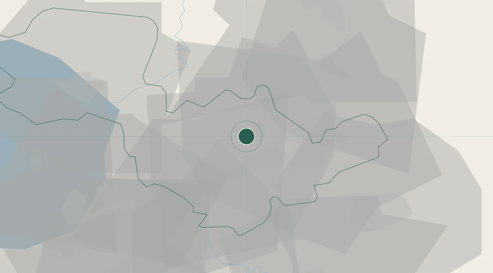
Nearby Logistics Neighbours

Cities
  1. 1Acquasparta7 km
  2. 2Narni11 km
  3. 3Massa Martana17 km
  4. 4Arrone18 km
  5. 5Todi22 km
Nearest neighbours — logibook spatial index (haversine) over the source coordinates
Ports
  1. 1Civitavecchia86 km
  2. 2Fiumicino98 km
  3. 3Porto Ercole112 km
  4. 4San Benedetto Del Tronto116 km
  5. 5Giulianova118 km
Nearest neighbours — logibook spatial index (haversine) over the source coordinates
Airports
  1. 1Viterbo Airport45 km
  2. 2Perugia San Francesco d'Assisi – Umbria International Airport53 km
  3. 3Guidonia Air Base71 km
  4. 4Rome Urbe Airport74 km
  5. 5Ciampino–G. B. Pastine International Airport91 km
Nearest neighbours — logibook spatial index (haversine) over the source coordinates
Trade Zones
  1. 1Abruzzo Special Economic Zone74 km
  2. 2Ionian Special Economic Zone155 km
  3. 3Campania Special Economic Zone (Naples and Salerno)228 km
  4. 4Port of Pula Free Zone270 km
  5. 5Puglia (Apulia) Special Economic Zone Area310 km
Nearest neighbours — logibook spatial index (haversine) over the source coordinates
DatabookThe Record of Consolidated Knowledge
Italy beyond logistics?
Browse databook

All Sources

LocationsUN/LOCODE
UN/LOCODE — free
LocationsGeoNames
CC BY 4.0
Portsthe NGA World Port Index
Public domain (US gov)
AirportsOurAirports
Public domain
Trade Zonesthe World Bank SEZ database
CC BY 4.0
Trade ZonesOpen Zone Map
CC BY
← Italy locations