Export Processing Zone · Italy

Consorzio Zona Industriale e Porto Fluviale di Padova Inactive
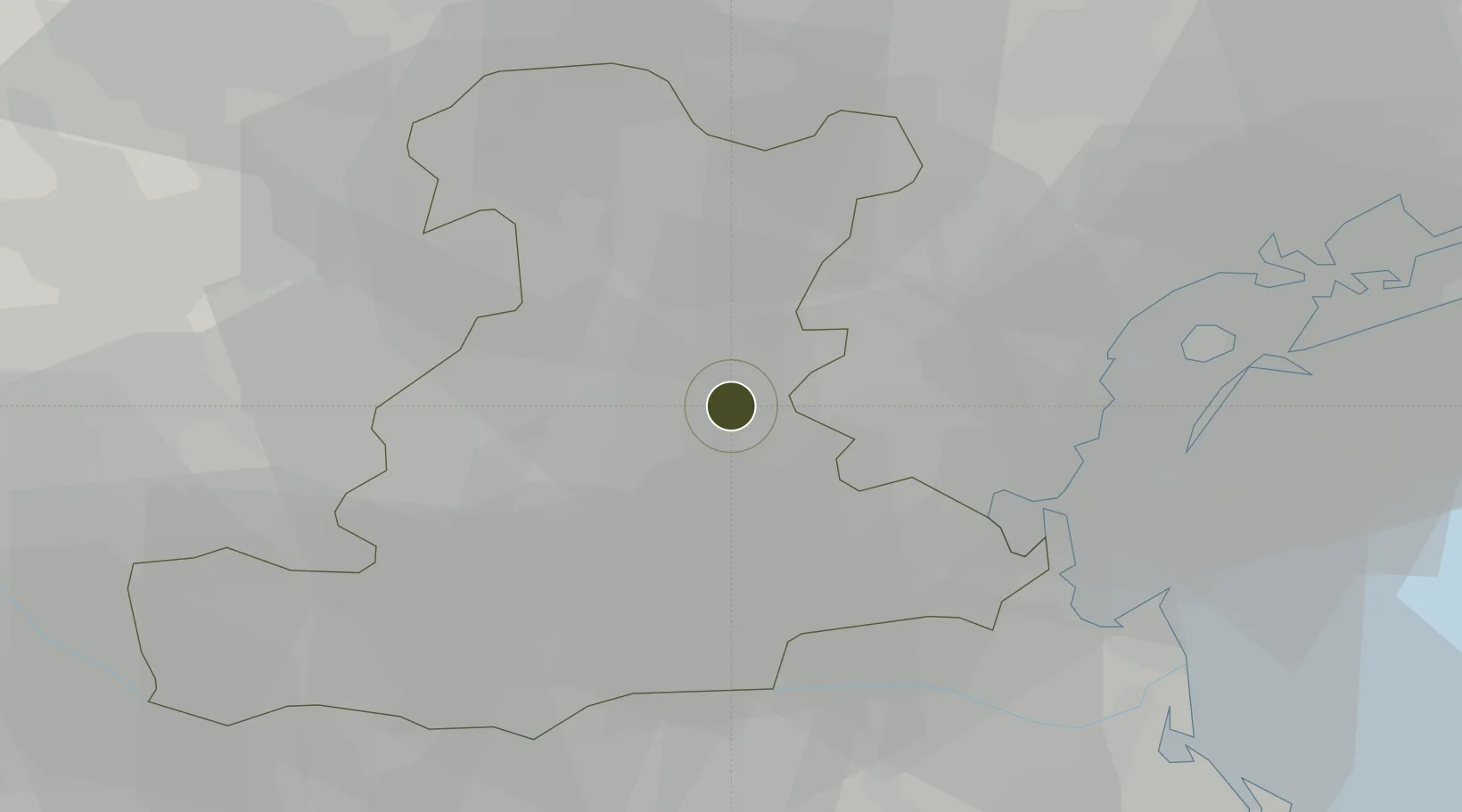
45.3889°, 11.9257°
1,050 ha
Zone area
34.0 km
Nearest port
6.2 km
Nearest airport

Gateway access

Nearest neighbours — logibook spatial index (haversine) over the source coordinates

Zone profile

Zone type
Export Processing Zone
Open Zone Map
Region
Padova
Open Zone Map
Status
Inactive
Open Zone Map
Management
Public
Open Zone Map
Operator
Interporto di Padova S.p.a.
Open Zone Map
Legal framework
Italian Law of 8/6/90
Open Zone Map

Location

Location of ozm-2540
Natural Earth 10m (public domain) · Padova · ozm-2540 · 45.39, 11.93GoogleOSMYandex

Nearby Logistics Neighbours

Ports
  1. 1Porto Di Chioggia34 km
  2. 2Porto Di Lido-Venezia40 km
  3. 3Porto Garibaldi83 km
  4. 4Porto Di Corsini104 km
  5. 5Nogaro105 km
Nearest neighbours — logibook spatial index (haversine) over the source coordinates
Airports
  1. 1Padova Gino Allegri Airfield6 km
  2. 2Istrana Air Base35 km
  3. 3Treviso Airport36 km
  4. 4Venice Marco Polo Airport36 km
  5. 5Verona Villafranca Valerio Catullo Airport81 km
Nearest neighbours — logibook spatial index (haversine) over the source coordinates
Cities
  1. 1Perarolo di Vigonza5 km
  2. 2Vigonovo6 km
  3. 3Vigodarzere7 km
  4. 4Polverara10 km
  5. 5Pianiga11 km
Nearest neighbours — logibook spatial index (haversine) over the source coordinates
Trade Zones
  1. 1Free Port of Venice30 km
  2. 2Free Port of Trieste145 km
  3. 3Port of Pula Free Zone161 km
  4. 4Port of Rijeka Free Zone184 km
  5. 5Livigno Free Trade Zone190 km
Nearest neighbours — logibook spatial index (haversine) over the source coordinates
DatabookThe Record of Consolidated Knowledge
Italy beyond logistics?
Browse databook

All Sources

Trade ZonesOpen Zone Map
CC BY
Portsthe NGA World Port Index
Public domain (US gov)
AirportsOurAirports
Public domain
LocationsUN/LOCODE
UN/LOCODE — free
← Italy trade zones