UN/LOCODE hub · Italy
ITTPS
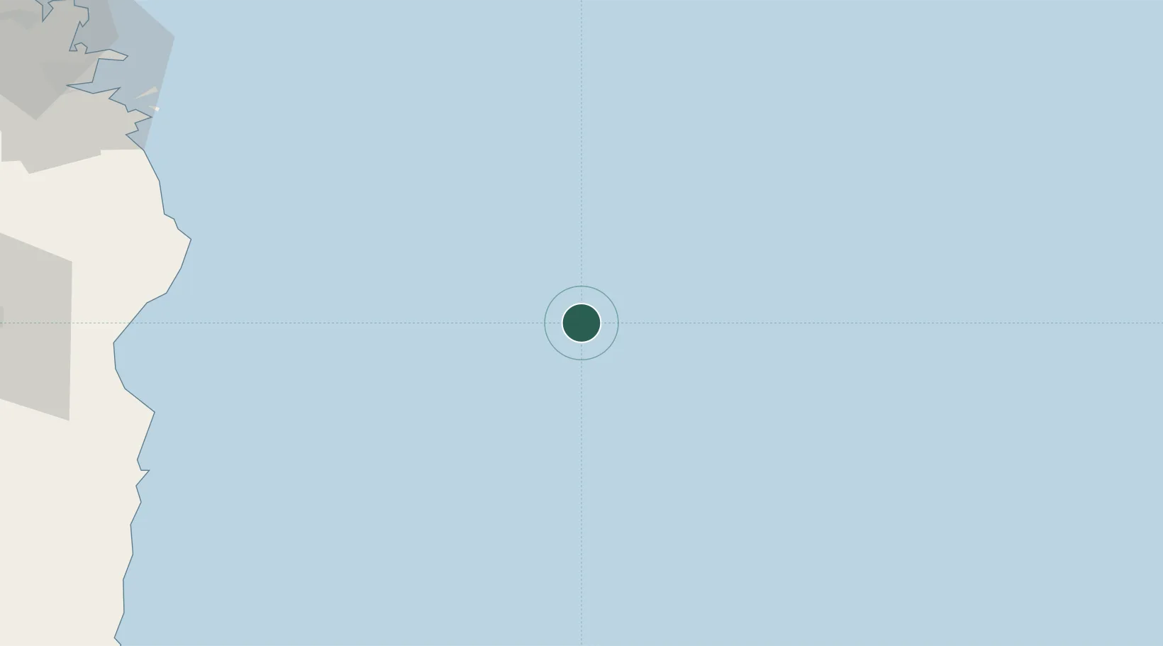
Trapani
40.3141°, 10.8330°
67,531
Population
2
Transport functions
1
Container terminals
Transport Functions
Port
Airport
Hub Profile
Place type
Provincial seat
Region
Sicily
Population
67,531
Time zone
Europe/Rome
Elevation
3 m
Logistics facilities
3
Container terminals
1
Location
Nearby Logistics Neighbours
Cities
- 1Orosei96 km
- 2Cala Gonone102 km
- 3Santa Maria Navarrese104 km
- 4Arbatax105 km
- 5Nuoro126 km
Ports
- 1Arbatax105 km
- 2Golfo Aranci127 km
- 3Olbia129 km
- 4Porto Cervo142 km
- 5Maddalena156 km
Airports
- 1Tortolì Airport107 km
- 2Olbia Costa Smeralda Airport129 km
- 3Decimomannu Air Base191 km
- 4Cagliari Elmas Airport193 km
- 5Figari Sud-Corse Airport197 km
Trade Zones
DatabookThe Record of Consolidated Knowledge
Italy beyond logistics?