Transport Functions
Port
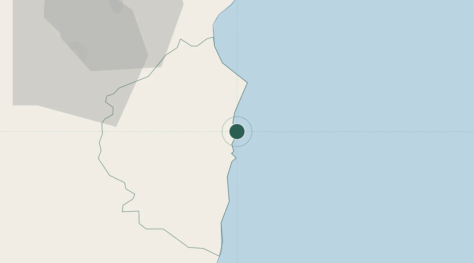
Hub Profile
Place type
Populated place
Region
Sardinia
Population
2,272
Time zone
Europe/Rome
Elevation
16 m
Location
Nearby Logistics Neighbours
Cities
- 1Santa Maria Navarrese6 km
- 2Osini22 km
- 3Cala Gonone41 km
- 4Orosei50 km
- 5Nuoro52 km
Ports
- 1Cagliari97 km
- 2Porto Di Oristano98 km
- 3Sarroch Oil Terminal111 km
- 4Olbia111 km
- 5Golfo Aranci118 km
Airports
- 1Tortolì Airport2 km
- 2Decimomannu Air Base90 km
- 3Cagliari Elmas Airport94 km
- 4Olbia Costa Smeralda Airport109 km
- 5Alghero-Fertilia Airport143 km
Trade Zones
DatabookThe Record of Consolidated Knowledge
Italy beyond logistics?