UN/LOCODE hub · Italy
ITAMN

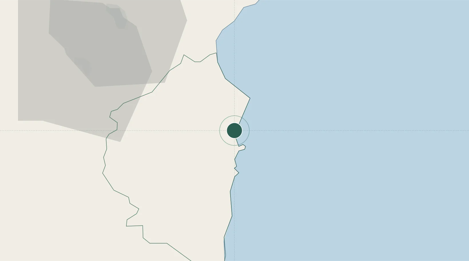
Santa Maria Navarrese

39.9833°, 9.6833°
1,569
Population
2
Transport functions

Transport Functions

Port
Road
UN/LOCODE

Hub Profile

Place type
Populated place
GeoNames
Region
Sardinia
GeoNames
Population
1,569
GeoNames
Time zone
Europe/Rome
GeoNames
Elevation
9 m
GeoNames

Location

Location of ITAMN
Natural Earth 10m (public domain) · Sardinia · ITAMN · 39.98, 9.68GoogleOSMYandex

Nearby Logistics Neighbours

Cities
  1. 1Arbatax6 km
  2. 2Osini24 km
  3. 3Cala Gonone36 km
  4. 4Orosei45 km
  5. 5Nuoro47 km
Nearest neighbours — logibook spatial index (haversine) over the source coordinates
Ports
  1. 1Arbatax6 km
  2. 2Porto Di Oristano98 km
  3. 3Cagliari101 km
  4. 4Olbia106 km
  5. 5Golfo Aranci112 km
Nearest neighbours — logibook spatial index (haversine) over the source coordinates
Airports
  1. 1Tortolì Airport7 km
  2. 2Decimomannu Air Base93 km
  3. 3Cagliari Elmas Airport98 km
  4. 4Olbia Costa Smeralda Airport103 km
  5. 5Alghero-Fertilia Airport138 km
Nearest neighbours — logibook spatial index (haversine) over the source coordinates
Trade Zones
  1. 1Sardinia Special Economic Zone Area89 km
  2. 2Free Zone of Portovesme140 km
  3. 3Bizerte Park of Economic Activities303 km
  4. 4Campania Special Economic Zone (Naples and Salerno)348 km
  5. 5Abruzzo Special Economic Zone399 km
Nearest neighbours — logibook spatial index (haversine) over the source coordinates
DatabookThe Record of Consolidated Knowledge
Italy beyond logistics?
Browse databook

All Sources

LocationsUN/LOCODE
UN/LOCODE — free
LocationsGeoNames
CC BY 4.0
Portsthe NGA World Port Index
Public domain (US gov)
AirportsOurAirports
Public domain
Trade Zonesthe World Bank SEZ database
CC BY 4.0
Trade ZonesOpen Zone Map
CC BY
← Italy locations