Transport Functions
Multimodal
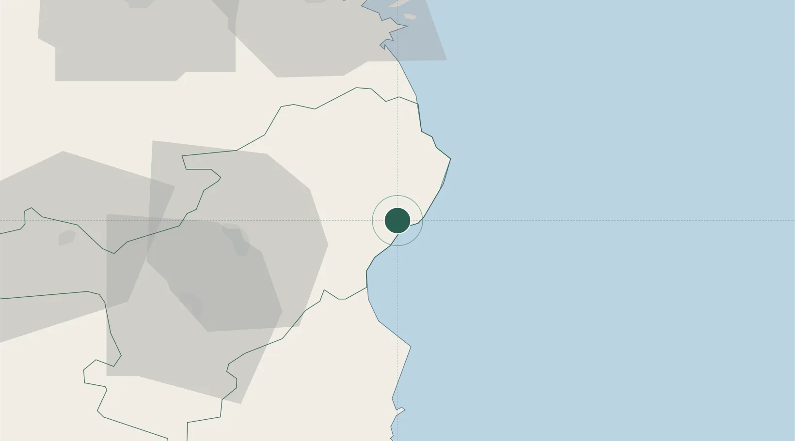
Hub Profile
Place type
District seat
Region
Sardinia
Population
5,807
Time zone
Europe/Rome
Elevation
19 m
Location
Nearby Logistics Neighbours
Cities
- 1Cala Gonone11 km
- 2Nuoro31 km
- 3Santa Maria Navarrese45 km
- 4Arbatax50 km
- 5Olbia61 km
Ports
- 1Arbatax50 km
- 2Olbia62 km
- 3Golfo Aranci68 km
- 4Porto Cervo85 km
- 5Maddalena95 km
Airports
- 1Tortolì Airport52 km
- 2Olbia Costa Smeralda Airport59 km
- 3Alghero-Fertilia Airport122 km
- 4Decimomannu Air Base130 km
- 5Figari Sud-Corse Airport134 km
Trade Zones
DatabookThe Record of Consolidated Knowledge
Italy beyond logistics?