Transport Functions
Port
Road
Hub Profile
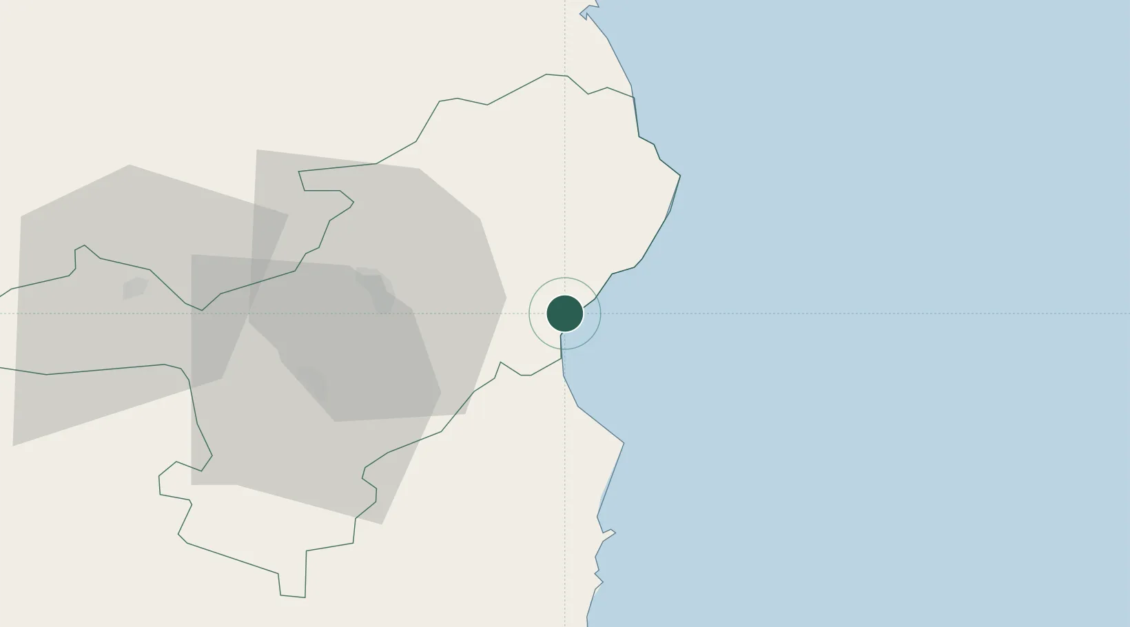
Place type
Populated place
Region
Sardinia
Population
1,618
Time zone
Europe/Rome
Elevation
23 m
Location
Nearby Logistics Neighbours
Cities
- 1Orosei11 km
- 2Nuoro24 km
- 3Santa Maria Navarrese36 km
- 4Arbatax41 km
- 5Osini53 km
Ports
- 1Arbatax41 km
- 2Olbia70 km
- 3Golfo Aranci77 km
- 4Porto Cervo93 km
- 5Maddalena103 km
Airports
- 1Tortolì Airport43 km
- 2Olbia Costa Smeralda Airport67 km
- 3Decimomannu Air Base119 km
- 4Alghero-Fertilia Airport119 km
- 5Cagliari Elmas Airport127 km
Trade Zones
DatabookThe Record of Consolidated Knowledge
Italy beyond logistics?