Seaport · Italy
TrapaniITTPS
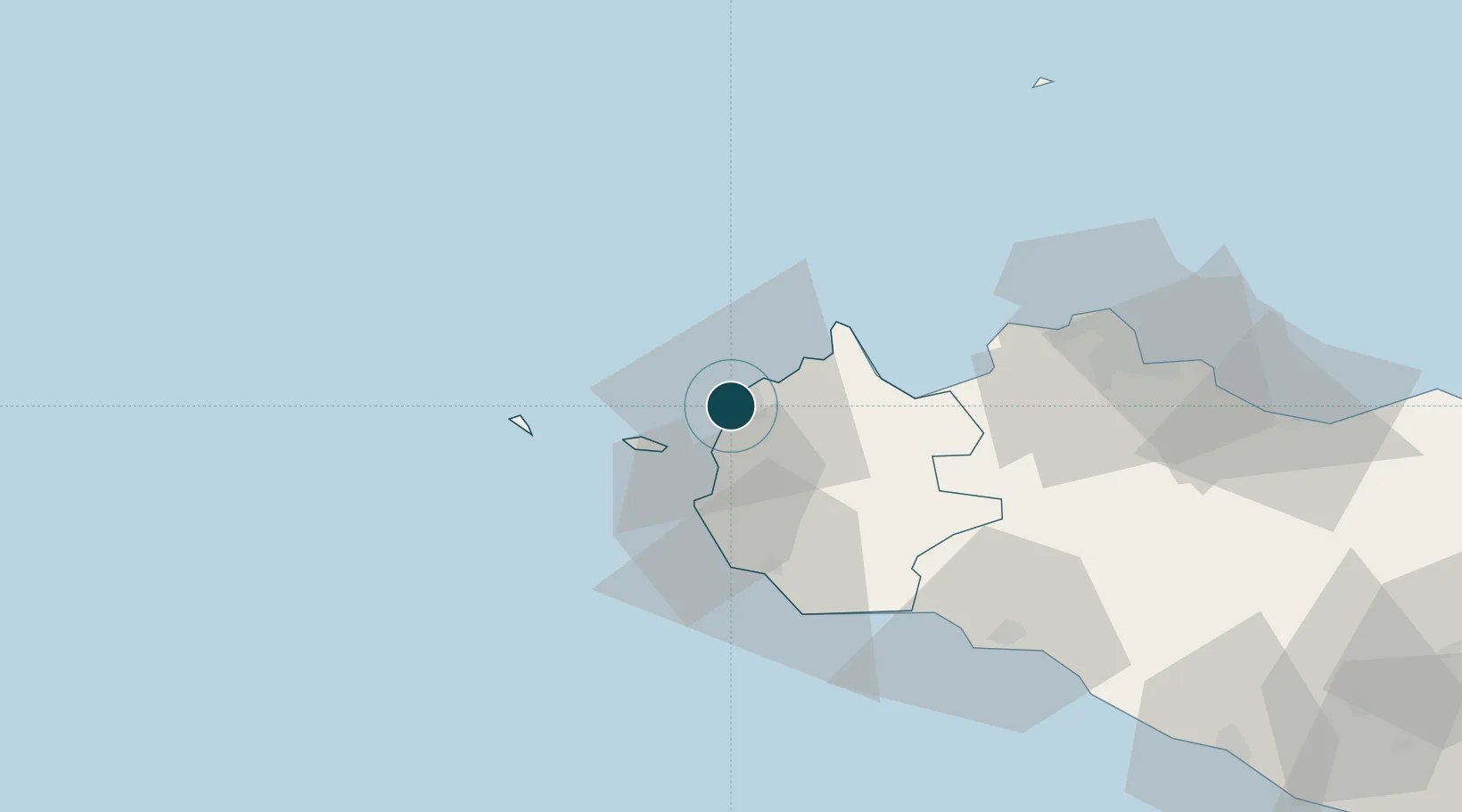
38.0120°, 12.5060°
7.9 m
Channel depth
1
Container terminals
15.2
Port liner connectivity
Channel & Berth Profile
Pilotage, Tugs & Services
Pilotage compulsoryYES
Pilotage advisableYES
Local assistanceYES
Tug assistanceYES
Shore powerNO
Potable waterYES
Diesel bunkersYES
MedicalYES
Garbage disposalYES
Facilities & Capabilities
Container—
Ro-Ro—
Liquid bulk—
Dry bulk—
Oil terminal—
Break bulk—
Dry dockNO
RepairsNO
BunkeringYES
Rail linkYES
Dangerous cargo—
ISPS security—
Harbour Specifications
Harbour size
Very Small
Harbour type
Coastal (Breakwater)
Shelter
Fair
Water body
Tyrrhenian Sea; Mediterranean Sea; North Atlantic Ocean
Tidal range
1 m
Pilotage
Yes
Liner Connectivity
15.2
PLSCI
Port Liner Shipping Connectivity Index for Trapani, as published by UNCTAD for the latest available quarter. Higher values indicate stronger scheduled liner-shipping integration.
Shown relative to the highest per-port PLSCI in the dataset (1,657.9).
Location
Container Terminals · 1
SCS TERMINAL TRAPANI
SCS RICCARDO SANGES & C. S.R.L.
Nearby Logistics Neighbours
Ports
- 1Levanzo15 km
- 2Favignana18 km
- 3Marsala26 km
- 4San Vito Lo Capo28 km
- 5Castellammare Del Golfo33 km
Cities
- 1Paceco5 km
- 2Isolotto Formica9 km
- 3Levanzo16 km
- 4Custonaci17 km
- 5Favignana18 km
Airports
- 1Vincenzo Florio Airport Trapani-Birgi11 km
- 2Falcone–Borsellino Airport54 km
- 3Palermo-Boccadifalco Airport72 km
- 4Pantelleria Airport141 km
- 5Comiso Airport217 km
Trade Zones
DatabookThe Record of Consolidated Knowledge
Italy beyond logistics?