Large airport · Italy

Cagliari Elmas AirportLIEE
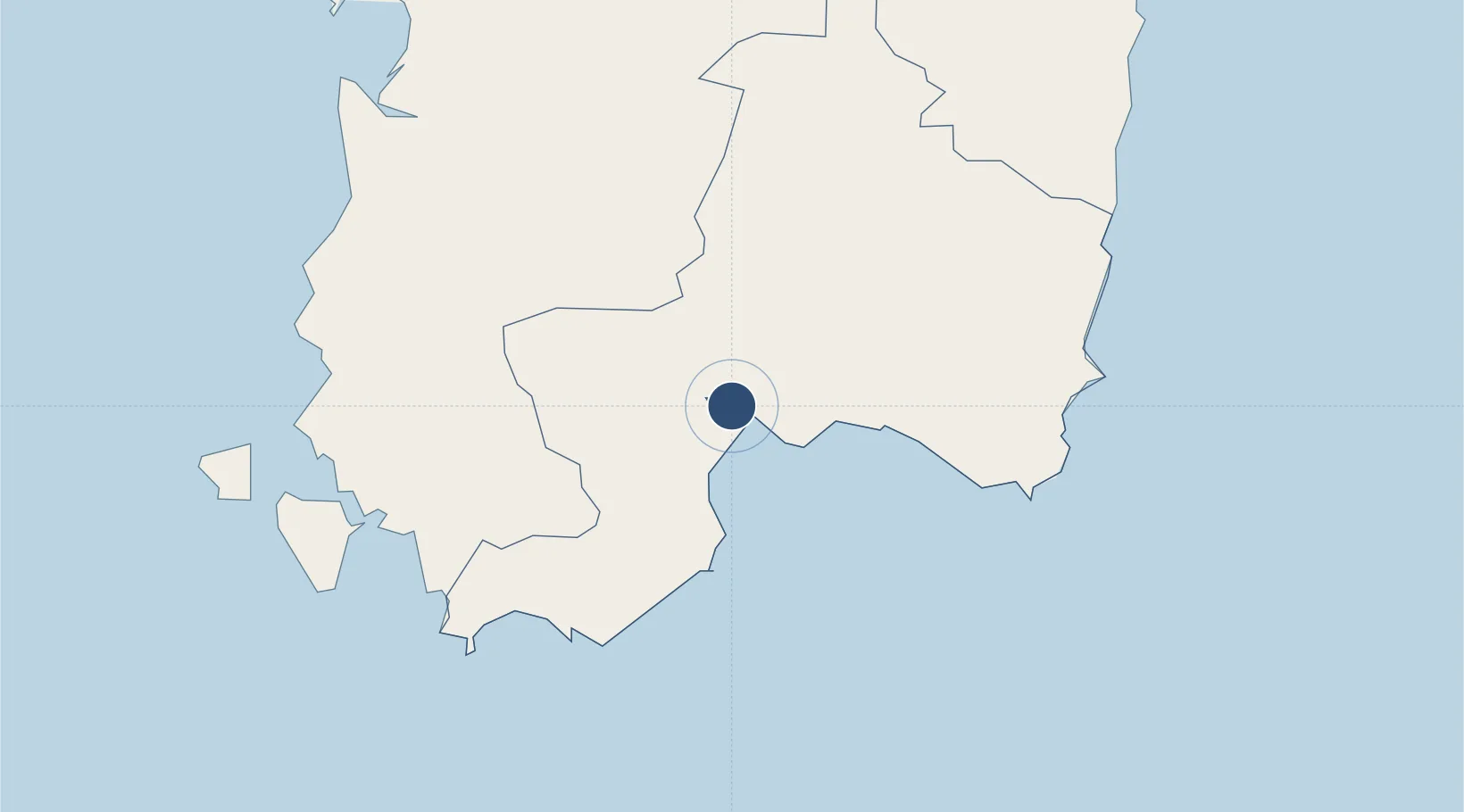
39.2515°, 9.0543°
9,196 ft
Longest runway
1
Runways
13 ft
Elevation

Runway & Layout

Cagliari Elmas Airport runway & taxiway layout
Runway & taxiway layout — OpenStreetMap (ODbL) / OurAirports

Radio Frequencies

TWR
120.6 MHz
GND
125.425 MHz
Elmas GND
APP
118.75 MHz
CAGLIARI APP
MISC
123.1 MHz
SAR
OurAirports

Navaids

CAG VOR-DME Cagliari 113.40 MHz
CAG NDB Cagliari 371 kHz
OurAirports

Runways · 1

RunwayDimensions SurfaceTrue headingLit
14/32 9,196 × 148ft Asphalt 138°
OurAirports

Airport Specifications

IATA code
CAG
OurAirports
ICAO code
LIEE
OurAirports
Airport class
Large airport
OurAirports
Scheduled service
Yes
OurAirports
Runway surface
Asphalt
OurAirports
Served city
Cagliari
OurAirports

Location

Location of LIEE
Natural Earth 10m (public domain) · Cagliari · LIEE · 39.25, 9.05GoogleOSMYandex

Nearby Logistics Neighbours

Airports
  1. 1Decimomannu Air Base13 km
  2. 2Tortolì Airport92 km
  3. 3Alghero-Fertilia Airport167 km
  4. 4Olbia Costa Smeralda Airport187 km
  5. 5Bizerte Sidi Ahmed Air Base232 km
Nearest neighbours — logibook spatial index (haversine) over the source coordinates
Cities
  1. 1Elmas2 km
  2. 2Cagliari7 km
  3. 3Uta10 km
  4. 4Selargius10 km
  5. 5Villaspeciosa13 km
Nearest neighbours — logibook spatial index (haversine) over the source coordinates
Ports
  1. 1Cagliari8 km
  2. 2Sarroch Oil Terminal19 km
  3. 3Sant'Antioco55 km
  4. 4Porto Ponte Romano55 km
  5. 5Porto Vesme58 km
Nearest neighbours — logibook spatial index (haversine) over the source coordinates
Trade Zones
  1. 1Free Zone of Portovesme55 km
  2. 2Sardinia Special Economic Zone Area149 km
  3. 3Bizerte Park of Economic Activities232 km
  4. 4Campania Special Economic Zone (Naples and Salerno)426 km
  5. 5Sicily Special Economic Zone Area492 km
Nearest neighbours — logibook spatial index (haversine) over the source coordinates
DatabookThe Record of Consolidated Knowledge
Italy beyond logistics?
Browse databook

All Sources

AirportsOurAirports
Public domain
Portsthe NGA World Port Index
Public domain (US gov)
LocationsUN/LOCODE
UN/LOCODE — free
Trade Zonesthe World Bank SEZ database
CC BY 4.0
Trade ZonesOpen Zone Map
CC BY
InfrastructureOpenStreetMap
ODbL 1.0
← Italy airports