UN/LOCODE hub · Italy
ITGLN

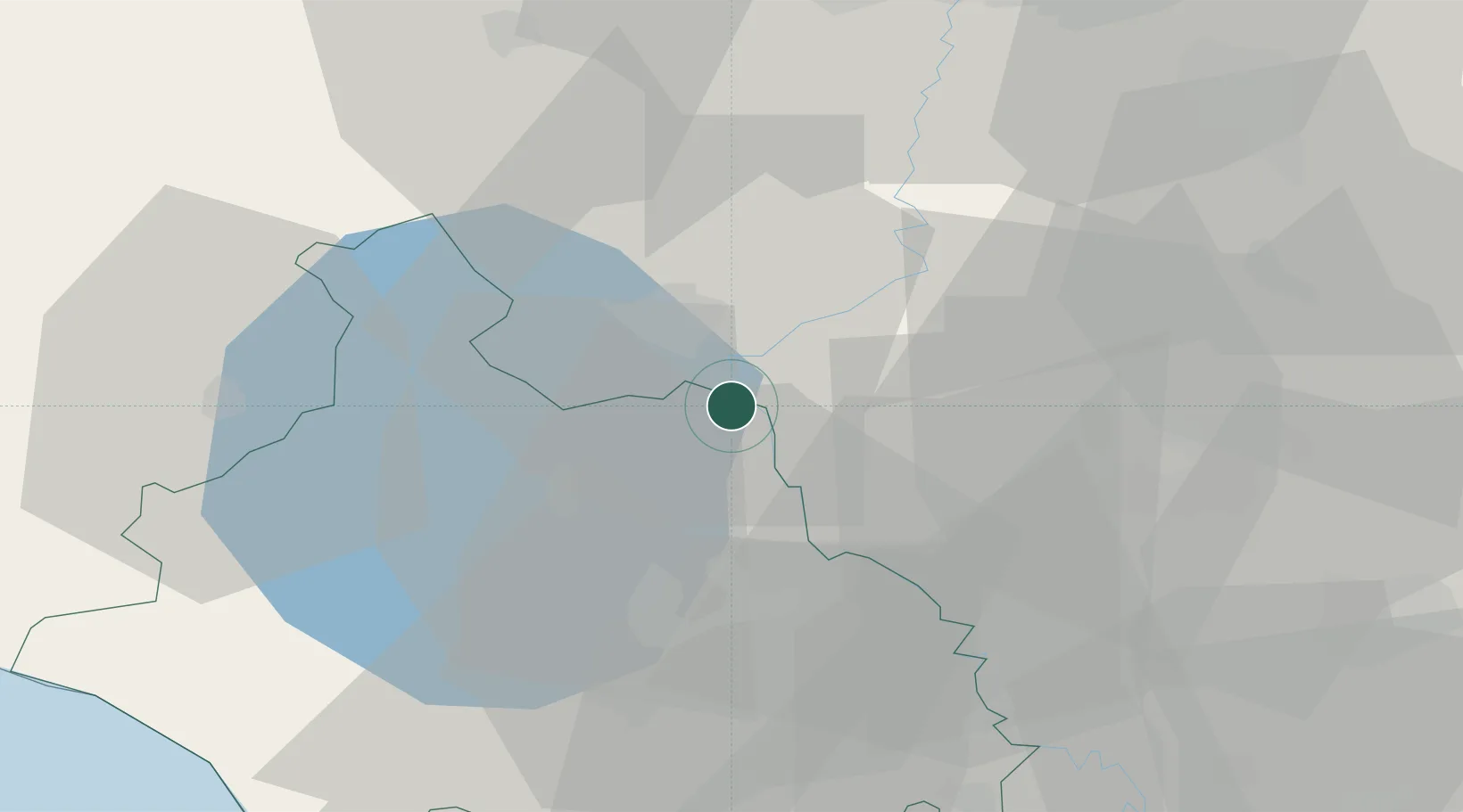
Castiglione in Teverina

42.6500°, 12.2000°
1,995
Population
2
Transport functions

Transport Functions

Rail
Road
UN/LOCODE

Hub Profile

Place type
District seat
GeoNames
Region
Lazio
GeoNames
Population
1,995
GeoNames
Time zone
Europe/Rome
GeoNames
Elevation
228 m
GeoNames

Location

Location of ITGLN
Natural Earth 10m (public domain) · Lazio · ITGLN · 42.65, 12.20GoogleOSMYandex

Nearby Logistics Neighbours

Cities
  1. 1Bagnoregio10 km
  2. 2Attigliano16 km
  3. 3Castel Viscardo20 km
  4. 4Todi22 km
  5. 5Soriano nel Cimino26 km
Nearest neighbours — logibook spatial index (haversine) over the source coordinates
Ports
  1. 1Civitavecchia70 km
  2. 2Porto Ercole85 km
  3. 3Porto Santo Stefano91 km
  4. 4Fiumicino98 km
  5. 5Giglio Porto110 km
Nearest neighbours — logibook spatial index (haversine) over the source coordinates
Airports
  1. 1Viterbo Airport27 km
  2. 2Perugia San Francesco d'Assisi – Umbria International Airport56 km
  3. 3Rome Urbe Airport82 km
  4. 4Guidonia Air Base86 km
  5. 5Grosseto Corrado Baccarini Air Base / Grosseto Airport93 km
Nearest neighbours — logibook spatial index (haversine) over the source coordinates
Trade Zones
  1. 1Abruzzo Special Economic Zone102 km
  2. 2Ionian Special Economic Zone180 km
  3. 3Campania Special Economic Zone (Naples and Salerno)244 km
  4. 4Port of Pula Free Zone279 km
  5. 5Consorzio Zona Industriale e Porto Fluviale di Padova305 km
Nearest neighbours — logibook spatial index (haversine) over the source coordinates
DatabookThe Record of Consolidated Knowledge
Italy beyond logistics?
Browse databook

All Sources

LocationsUN/LOCODE
UN/LOCODE — free
LocationsGeoNames
CC BY 4.0
Portsthe NGA World Port Index
Public domain (US gov)
AirportsOurAirports
Public domain
Trade Zonesthe World Bank SEZ database
CC BY 4.0
Trade ZonesOpen Zone Map
CC BY
← Italy locations