Medium airport · Italy

Siena-Ampugnano AirportLIQS
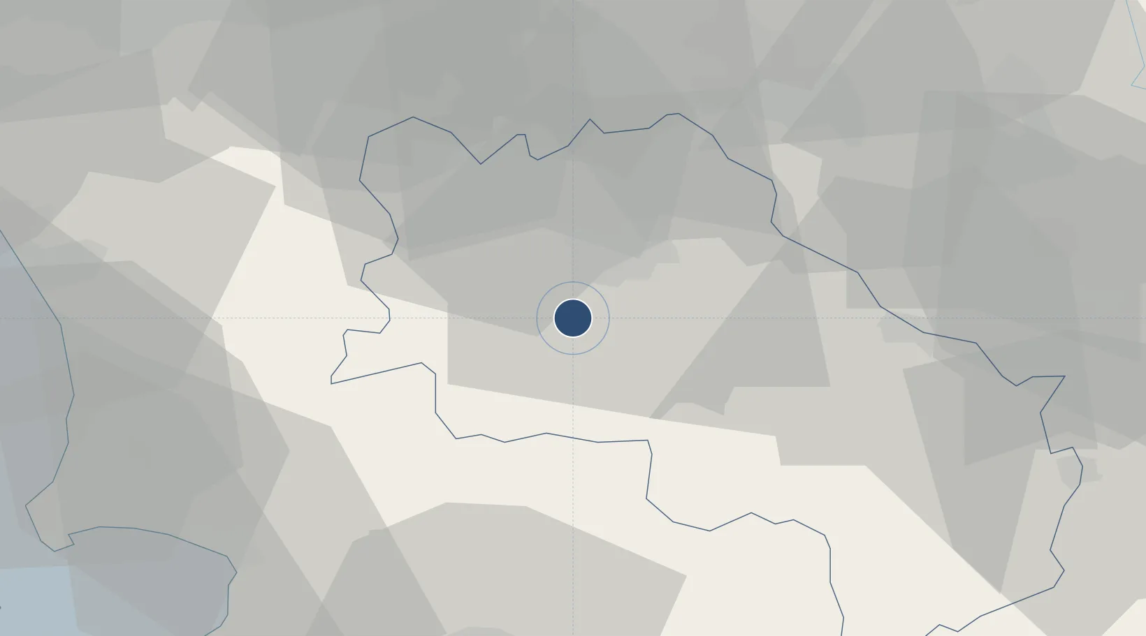
43.2563°, 11.2550°
4,570 ft
Longest runway
1
Runways
634 ft
Elevation

Runway & Layout

Siena-Ampugnano Airport runway & taxiway layout
Runway & taxiway layout — OpenStreetMap (ODbL) / OurAirports

Radio Frequencies

APP
122.1 MHz
GROSSETO APP
AFIS
122.6 MHz
SIENA INFO
OurAirports

Navaids

SIE VOR-DME Siena 110.20 MHz
OurAirports

Runways · 1

RunwayDimensions SurfaceTrue headingLit
18/36 4,570 × 98ft Asphalt 178°
OurAirports

Airport Specifications

ICAO code
LIQS
OurAirports
Airport class
Medium airport
OurAirports
Scheduled service
No
OurAirports
Runway surface
Asphalt
OurAirports
Served city
Ampugnano (SI)
OurAirports

Location

Location of LIQS
Natural Earth 10m (public domain) · Siena · LIQS · 43.26, 11.26GoogleOSMYandex

Nearby Logistics Neighbours

Cities
  1. 1Acquaviva16 km
  2. 2Casole d'Elsa20 km
  3. 3Asciano24 km
  4. 4Serre di Rapolano29 km
  5. 5Pignano29 km
Nearest neighbours — logibook spatial index (haversine) over the source coordinates
Ports
  1. 1Vada66 km
  2. 2Portovecchio Di Piombino67 km
  3. 3Livorno84 km
  4. 4Portoferraio89 km
  5. 5Porto Santo Stefano91 km
Nearest neighbours — logibook spatial index (haversine) over the source coordinates
Trade Zones
  1. 1Abruzzo Special Economic Zone201 km
  2. 2Consorzio Zona Industriale e Porto Fluviale di Padova243 km
  3. 3Free Port of Venice256 km
  4. 4Port of Pula Free Zone273 km
  5. 5Ionian Special Economic Zone282 km
Nearest neighbours — logibook spatial index (haversine) over the source coordinates
DatabookThe Record of Consolidated Knowledge
Italy beyond logistics?
Browse databook

All Sources

AirportsOurAirports
Public domain
Portsthe NGA World Port Index
Public domain (US gov)
LocationsUN/LOCODE
UN/LOCODE — free
Trade Zonesthe World Bank SEZ database
CC BY 4.0
Trade ZonesOpen Zone Map
CC BY
InfrastructureOpenStreetMap
ODbL 1.0
← Italy airports