Transport Functions
Multimodal
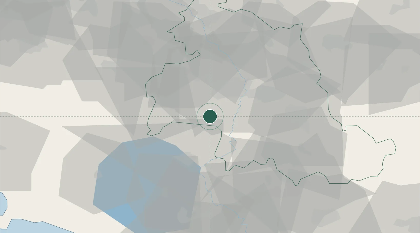
Hub Profile
Place type
Populated place
Region
Umbria
Population
163
Time zone
Europe/Rome
Elevation
210 m
Location
Nearby Logistics Neighbours
Cities
- 1San Sisto14 km
- 2Ponte Valleceppi21 km
- 3Todi23 km
- 4Santa Maria degli Angeli26 km
- 5Chiusi26 km
Ports
- 1Civitavecchia104 km
- 2Porto Ercole107 km
- 3Porto Santo Stefano110 km
- 4Senigallia114 km
- 5Fano116 km
Airports
Trade Zones
DatabookThe Record of Consolidated Knowledge
Italy beyond logistics?