Transport Functions
Rail
Road
Hub Profile
Place type
Populated place
Region
Umbria
Time zone
Europe/Rome
Elevation
289 m
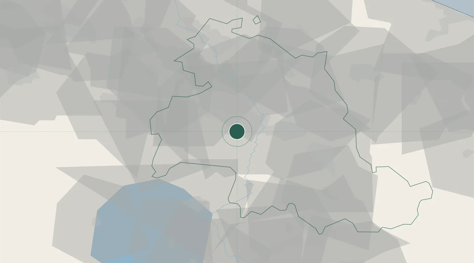
Location
Nearby Logistics Neighbours
Cities
- 1Ponte Valleceppi10 km
- 2Mercatello14 km
- 3Santa Maria degli Angeli19 km
- 4Terontola29 km
- 5Pozzuolo31 km
Ports
- 1Senigallia101 km
- 2Fano102 km
- 3Pesaro105 km
- 4Ancona112 km
- 5Rimini113 km
Airports
Trade Zones
DatabookThe Record of Consolidated Knowledge
Italy beyond logistics?