Seaport · Italy

RiminiITRMI

44.0810°, 12.5740°
Rimini is also a UN/LOCODE logistics hub →

Channel & Berth Profile

NGA World Port Index

Facilities & Capabilities

Container
Ro-Ro
Liquid bulk
Dry bulk
Oil terminal
Break bulk
Dry dock
Repairs
Bunkering
Rail link
Dangerous cargo
ISPS security
NGA World Port Index

Harbour Specifications

Harbour size
Small
NGA World Port Index
Water body
Adriatic Sea; Mediterranean Sea; North Atlantic Ocean
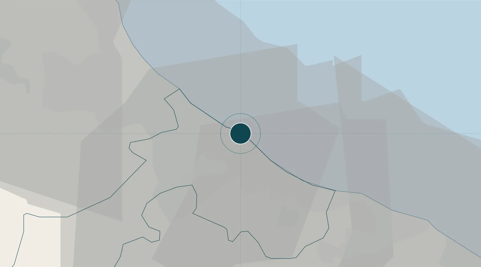
NGA World Port Index

Location

Location of ITRMI
Natural Earth 10m (public domain) · Rimini · ITRMI · 44.08, 12.57GoogleOSMYandex

Nearby Logistics Neighbours

Ports
  1. 1Cesenatico19 km
  2. 2Pesaro31 km
  3. 3Fano43 km
  4. 4Porto Di Corsini51 km
  5. 5Senigallia65 km
Nearest neighbours — logibook spatial index (haversine) over the source coordinates
Cities
  1. 1Miramare6 km
  2. 2Casalecchio10 km
  3. 3Cerasolo11 km
  4. 4Santarcangelo di Romagna11 km
  5. 5Bellaria12 km
Nearest neighbours — logibook spatial index (haversine) over the source coordinates
Airports
  1. 1Federico Fellini International Airport7 km
  2. 2Cervia Air Base27 km
  3. 3Forlì-Luigi Ridolfi International Airport42 km
  4. 4Marche Airport82 km
  5. 5Perugia San Francesco d'Assisi – Umbria International Airport110 km
Nearest neighbours — logibook spatial index (haversine) over the source coordinates
Trade Zones
  1. 1Port of Pula Free Zone133 km
  2. 2Free Port of Venice152 km
  3. 3Consorzio Zona Industriale e Porto Fluviale di Padova154 km
  4. 4Port of Rijeka Free Zone182 km
  5. 5Free Port of Trieste197 km
Nearest neighbours — logibook spatial index (haversine) over the source coordinates
DatabookThe Record of Consolidated Knowledge
Italy beyond logistics?
Browse databook

All Sources

Portsthe NGA World Port Index
Public domain (US gov)
AirportsOurAirports
Public domain
LocationsUN/LOCODE
UN/LOCODE — free
Trade Zonesthe World Bank SEZ database
CC BY 4.0
Trade ZonesOpen Zone Map
CC BY
← Italy ports