Transport Functions
Rail
Road
Hub Profile
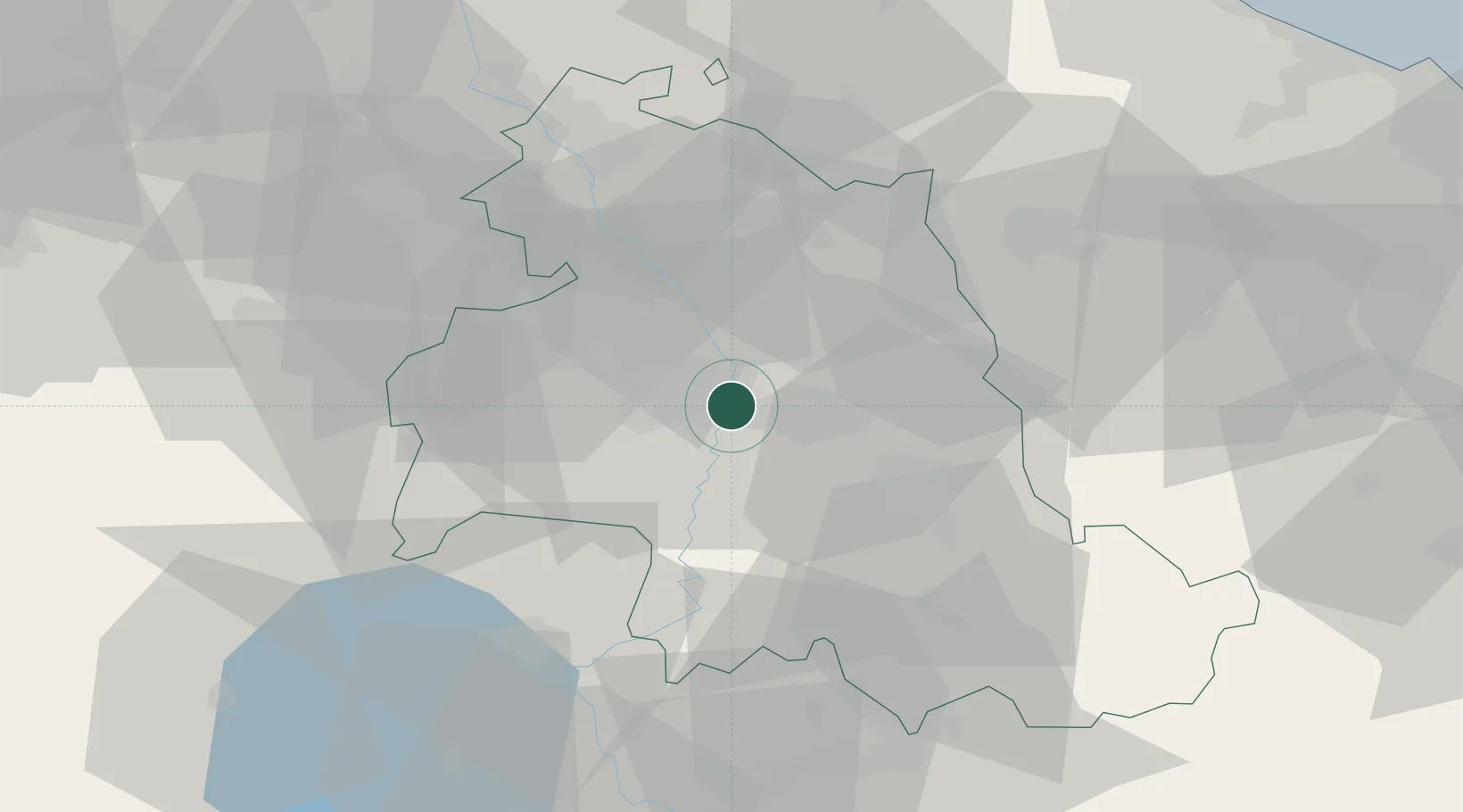
Place type
Populated place
Region
Umbria
Time zone
Europe/Rome
Elevation
206 m
Location
Nearby Logistics Neighbours
Cities
- 1San Sisto10 km
- 2Santa Maria degli Angeli11 km
- 3Mercatello21 km
- 4Foligno26 km
- 5Nocera Umbra27 km
Ports
- 1Senigallia93 km
- 2Fano96 km
- 3Pesaro99 km
- 4Ancona103 km
- 5Civitanova Marche107 km
Airports
Trade Zones
DatabookThe Record of Consolidated Knowledge
Italy beyond logistics?