Transport Functions
Rail
Road
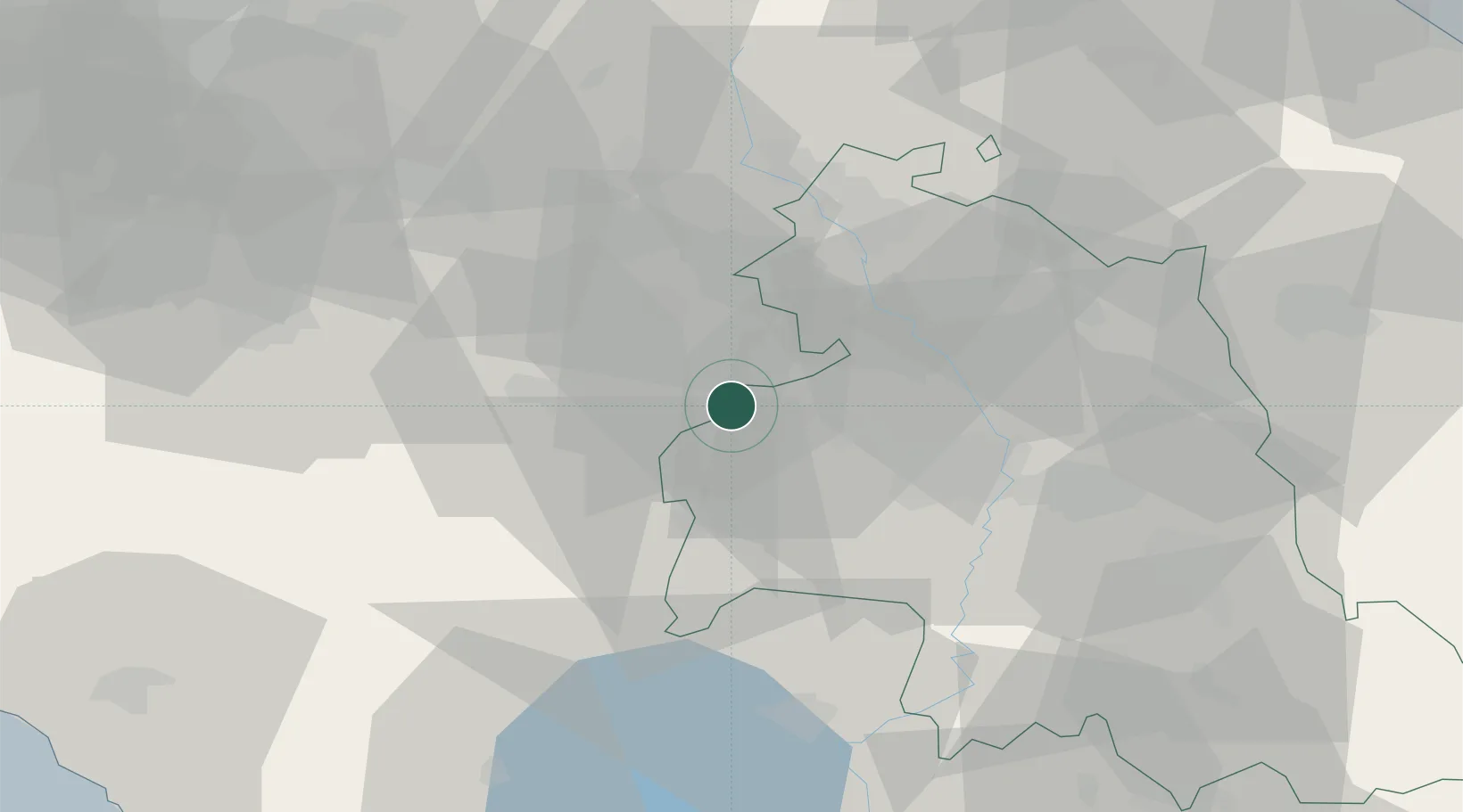
Hub Profile
Place type
Populated place
Region
Tuscany
Population
1,608
Time zone
Europe/Rome
Elevation
274 m
Location
Nearby Logistics Neighbours
Cities
- 1Cortona7 km
- 2Pozzuolo13 km
- 3Castiglion Fiorentino16 km
- 4Foiano Della Chiana18 km
- 5Marciano della Chiana22 km
Ports
- 1Rimini106 km
- 2Pesaro106 km
- 3Fano107 km
- 4Senigallia111 km
- 5Porto Ercole112 km
Airports
Trade Zones
DatabookThe Record of Consolidated Knowledge
Italy beyond logistics?