Seaport · Italy
AnconaITAOI
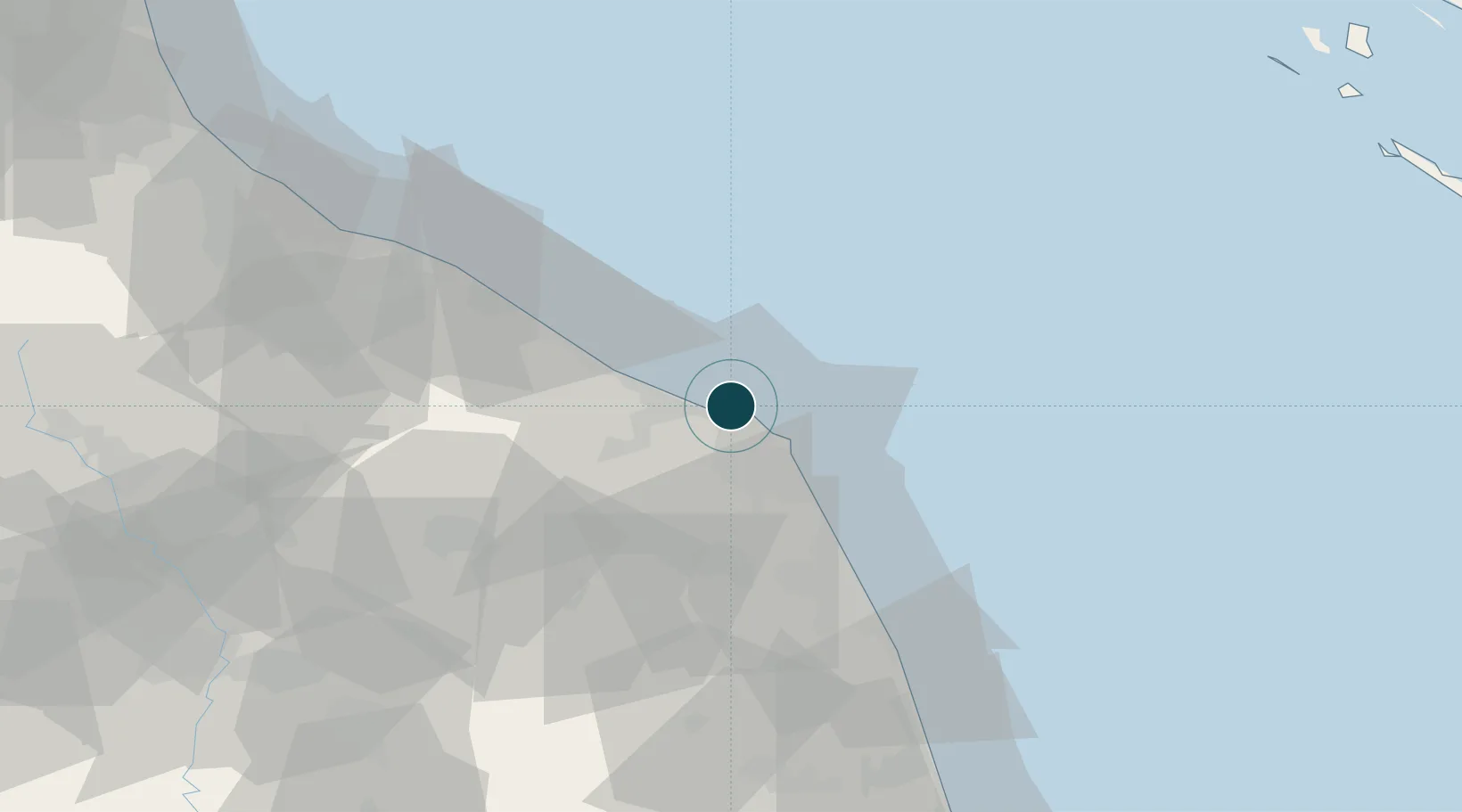
43.6290°, 13.4940°
11.0 m
Channel depth
2
Container terminals
80.1
Port liner connectivity
Channel & Berth Profile
Pilotage, Tugs & Services
Pilotage compulsoryYES
Pilotage availableYES
Pilotage advisableYES
Local assistanceYES
Tug assistanceYES
Potable waterYES
Diesel bunkersYES
MedicalYES
Garbage disposalYES
Facilities & Capabilities
Container—
Ro-Ro—
Liquid bulk—
Dry bulk—
Oil terminal—
Break bulk—
Dry dockNO
RepairsNO
BunkeringYES
Rail linkYES
Dangerous cargo—
ISPS security—
Harbour Specifications
Harbour size
Small
Harbour type
Coastal (Breakwater)
Shelter
Good
Water body
Adriatic Sea; Mediterranean Sea; North Atlantic Ocean
Tidal range
1 m
Pilotage
Yes
Liner Connectivity
80.1
PLSCI
Port Liner Shipping Connectivity Index for Ancona, as published by UNCTAD for the latest available quarter. Higher values indicate stronger scheduled liner-shipping integration.
Shown relative to the highest per-port PLSCI in the dataset (1,657.9).
Location
Container Terminals · 2
ADRIATIC CONTAINER TERMINAL
ACT ADRIATIC CONTAINER TERMINAL ANCONA
ADRIATIC SERVICES ENTERPRISE ANCONA
ASE ADRIATIC SERVICES ENTERPRISE SRL
Nearby Logistics Neighbours
Ports
- 1Senigallia24 km
- 2Civitanova Marche40 km
- 3Fano46 km
- 4Pesaro58 km
- 5San Benedetto Del Tronto81 km
Cities
- 1Castelferretti12 km
- 2Numana16 km
- 3Loreto23 km
- 4Senigallia24 km
- 5Filottrano25 km
Airports
Trade Zones
- 1Port of Pula Free Zone140 km
- 2Abruzzo Special Economic Zone150 km
- 3Port of Rijeka Free Zone184 km
- 4Free Zone Kukuljanovo206 km
- 5Ionian Special Economic Zone217 km
DatabookThe Record of Consolidated Knowledge
Italy beyond logistics?