Seaport · Italy

FanoITFAO

43.8570°, 13.0170°
Fano is also a UN/LOCODE logistics hub →

Channel & Berth Profile

NGA World Port Index

Facilities & Capabilities

Container
Ro-Ro
Liquid bulk
Dry bulk
Oil terminal
Break bulk
Dry dock
Repairs
Bunkering
Rail link
Dangerous cargo
ISPS security
NGA World Port Index

Harbour Specifications

Harbour size
Small
NGA World Port Index
Water body
Adriatic Sea; Mediterranean Sea; North Atlantic Ocean
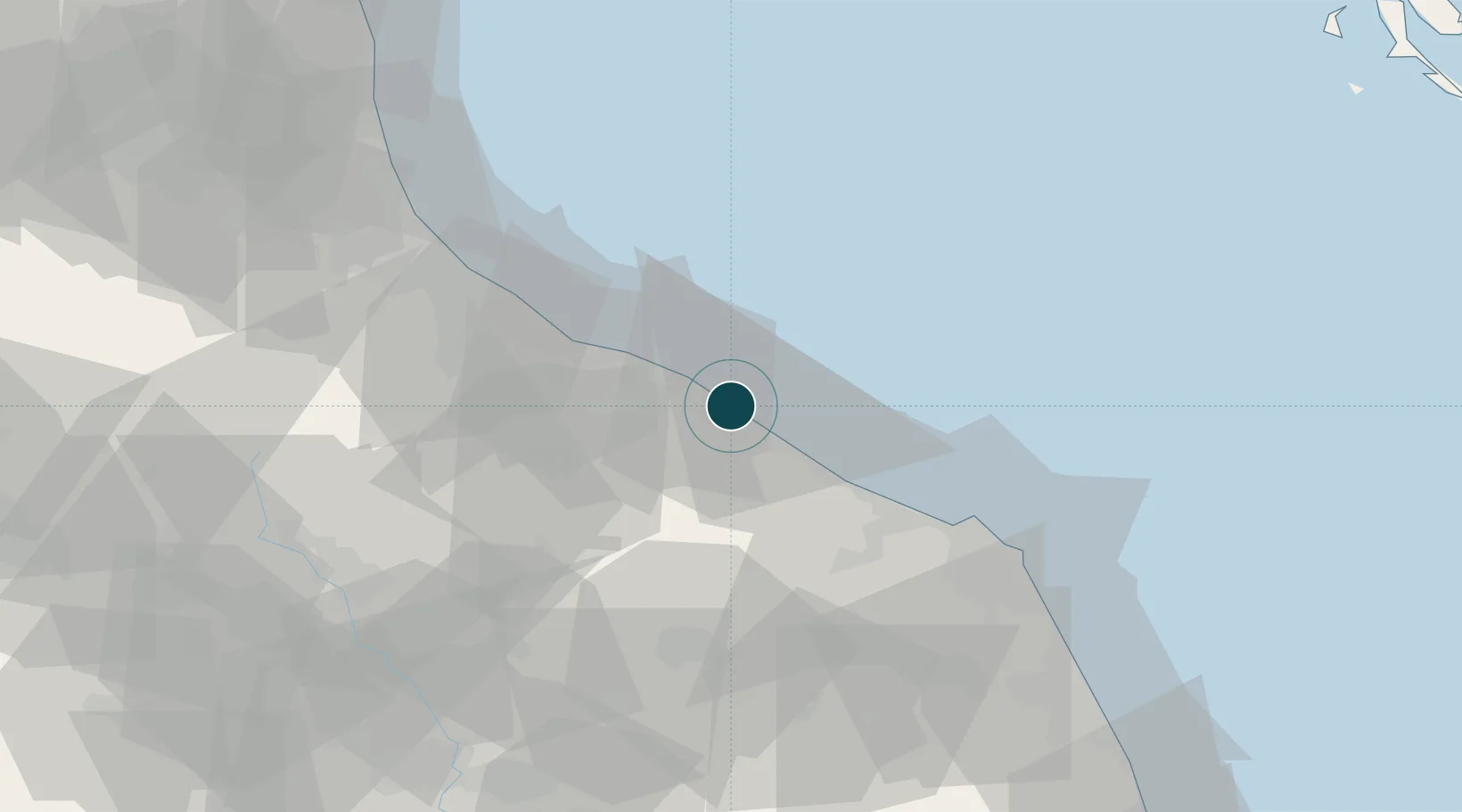
NGA World Port Index

Location

Location of ITFAO
Natural Earth 10m (public domain) · Pesaro e Urbino · ITFAO · 43.86, 13.02GoogleOSMYandex

Nearby Logistics Neighbours

Ports
  1. 1Pesaro12 km
  2. 2Senigallia22 km
  3. 3Rimini43 km
  4. 4Ancona46 km
  5. 5Cesenatico62 km
Nearest neighbours — logibook spatial index (haversine) over the source coordinates
Cities
  1. 1Pesaro9 km
  2. 2Lucrezia12 km
  3. 3Marotta14 km
  4. 4Colli al Metauro16 km
  5. 5Vallefoglia18 km
Nearest neighbours — logibook spatial index (haversine) over the source coordinates
Airports
  1. 1Federico Fellini International Airport37 km
  2. 2Marche Airport39 km
  3. 3Cervia Air Base70 km
  4. 4Forlì-Luigi Ridolfi International Airport85 km
  5. 5Perugia San Francesco d'Assisi – Umbria International Airport94 km
Nearest neighbours — logibook spatial index (haversine) over the source coordinates
Trade Zones
  1. 1Port of Pula Free Zone129 km
  2. 2Abruzzo Special Economic Zone176 km
  3. 3Port of Rijeka Free Zone178 km
  4. 4Free Port of Venice184 km
  5. 5Consorzio Zona Industriale e Porto Fluviale di Padova191 km
Nearest neighbours — logibook spatial index (haversine) over the source coordinates
DatabookThe Record of Consolidated Knowledge
Italy beyond logistics?
Browse databook

All Sources

Portsthe NGA World Port Index
Public domain (US gov)
AirportsOurAirports
Public domain
LocationsUN/LOCODE
UN/LOCODE — free
Trade Zonesthe World Bank SEZ database
CC BY 4.0
Trade ZonesOpen Zone Map
CC BY
← Italy ports