UN/LOCODE hub · Italy
ITSME

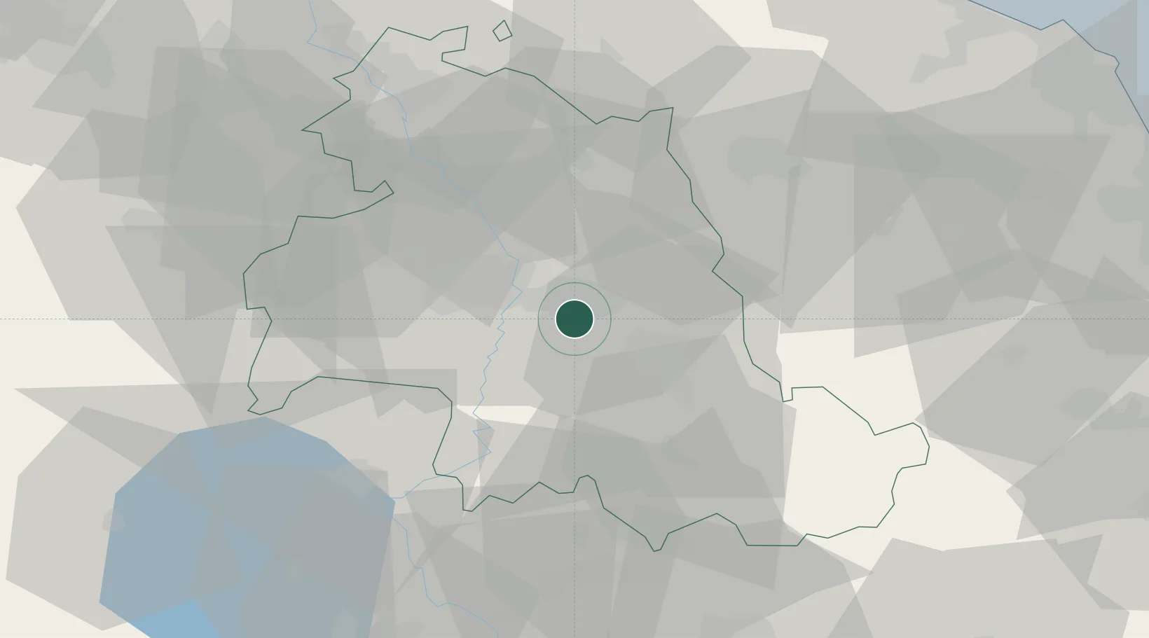
Santa Maria degli Angeli

43.0500°, 12.5667°
7,719
Population
2
Transport functions

Transport Functions

Rail
Road
UN/LOCODE

Hub Profile

Place type
Populated place
GeoNames
Region
Umbria
GeoNames
Population
7,719
GeoNames
Time zone
Europe/Rome
GeoNames
Elevation
218 m
GeoNames

Location

Location of ITSME
Natural Earth 10m (public domain) · Umbria · ITSME · 43.05, 12.57GoogleOSMYandex

Nearby Logistics Neighbours

Cities
  1. 1Ponte Valleceppi11 km
  2. 2Foligno16 km
  3. 3Nocera Umbra19 km
  4. 4San Sisto19 km
  5. 5Gaifana22 km
Nearest neighbours — logibook spatial index (haversine) over the source coordinates
Ports
  1. 1Senigallia92 km
  2. 2Fano97 km
  3. 3Ancona99 km
  4. 4Civitanova Marche99 km
  5. 5Pesaro101 km
Nearest neighbours — logibook spatial index (haversine) over the source coordinates
Airports
  1. 1Perugia San Francesco d'Assisi – Umbria International Airport7 km
  2. 2Viterbo Airport80 km
  3. 3Marche Airport90 km
  4. 4Federico Fellini International Airport108 km
  5. 5Siena-Ampugnano Airport109 km
Nearest neighbours — logibook spatial index (haversine) over the source coordinates
Trade Zones
  1. 1Abruzzo Special Economic Zone106 km
  2. 2Ionian Special Economic Zone189 km
  3. 3Port of Pula Free Zone226 km
  4. 4Consorzio Zona Industriale e Porto Fluviale di Padova265 km
  5. 5Free Port of Venice266 km
Nearest neighbours — logibook spatial index (haversine) over the source coordinates
DatabookThe Record of Consolidated Knowledge
Italy beyond logistics?
Browse databook

All Sources

LocationsUN/LOCODE
UN/LOCODE — free
LocationsGeoNames
CC BY 4.0
Portsthe NGA World Port Index
Public domain (US gov)
AirportsOurAirports
Public domain
Trade Zonesthe World Bank SEZ database
CC BY 4.0
Trade ZonesOpen Zone Map
CC BY
← Italy locations