Transport Functions
Multimodal
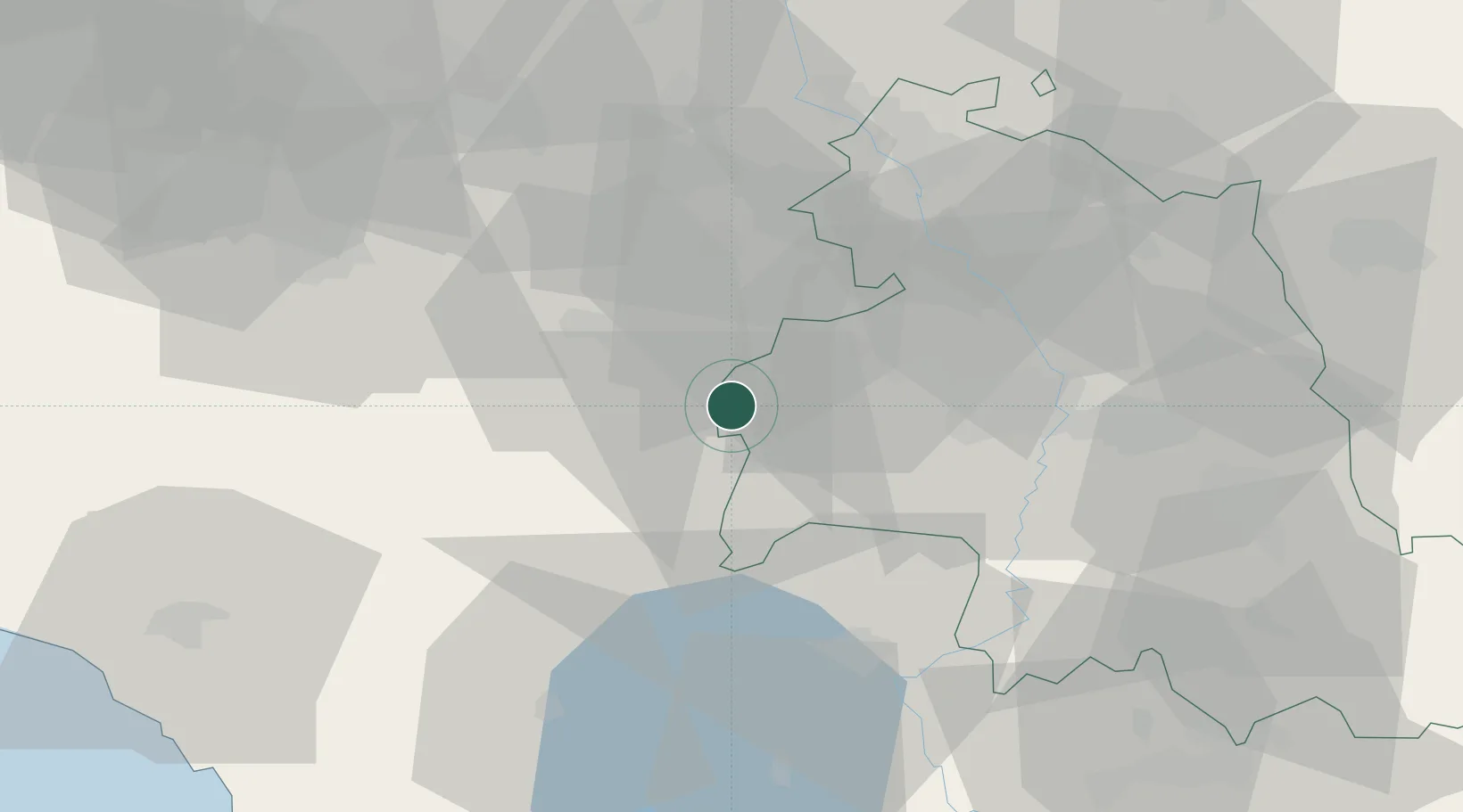
Hub Profile
Place type
Populated place
Region
Umbria
Population
1,028
Time zone
Europe/Rome
Elevation
351 m
Location
Nearby Logistics Neighbours
Cities
- 1Chiusi11 km
- 2Terontola13 km
- 3Torrita di Siena16 km
- 4Montefollonico16 km
- 5Cortona17 km
Ports
- 1Porto Ercole100 km
- 2Porto Santo Stefano101 km
- 3Civitavecchia114 km
- 4Portovecchio Di Piombino115 km
- 5Rimini118 km
Airports
Trade Zones
DatabookThe Record of Consolidated Knowledge
Italy beyond logistics?