Seaport · Italy

SenigalliaITSEG

43.7240°, 13.2210°
Senigallia is also a UN/LOCODE logistics hub →

Channel & Berth Profile

NGA World Port Index

Facilities & Capabilities

Container
Ro-Ro
Liquid bulk
Dry bulk
Oil terminal
Break bulk
Dry dock
Repairs
Bunkering
Rail link
Dangerous cargo
ISPS security
NGA World Port Index

Harbour Specifications

Harbour size
Small
NGA World Port Index
Water body
Adriatic Sea; Mediterranean Sea; North Atlantic Ocean
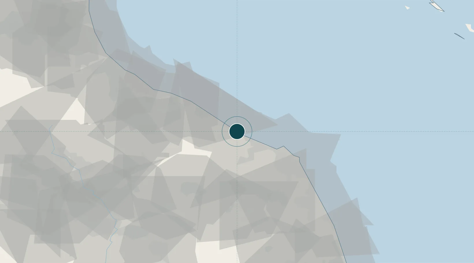
NGA World Port Index

Location

Location of ITSEG
Natural Earth 10m (public domain) · Ancona · ITSEG · 43.72, 13.22GoogleOSMYandex

Nearby Logistics Neighbours

Ports
  1. 1Fano22 km
  2. 2Ancona24 km
  3. 3Pesaro34 km
  4. 4Civitanova Marche61 km
  5. 5Rimini65 km
Nearest neighbours — logibook spatial index (haversine) over the source coordinates
Cities
  1. 1Marotta9 km
  2. 2Ostra13 km
  3. 3Corinaldo16 km
  4. 4Castelferretti17 km
  5. 5Fano20 km
Nearest neighbours — logibook spatial index (haversine) over the source coordinates
Airports
  1. 1Marche Airport17 km
  2. 2Federico Fellini International Airport59 km
  3. 3Perugia San Francesco d'Assisi – Umbria International Airport90 km
  4. 4Cervia Air Base92 km
  5. 5Forlì-Luigi Ridolfi International Airport106 km
Nearest neighbours — logibook spatial index (haversine) over the source coordinates
Trade Zones
  1. 1Port of Pula Free Zone136 km
  2. 2Abruzzo Special Economic Zone160 km
  3. 3Port of Rijeka Free Zone183 km
  4. 4Free Port of Venice203 km
  5. 5Free Zone Kukuljanovo206 km
Nearest neighbours — logibook spatial index (haversine) over the source coordinates
DatabookThe Record of Consolidated Knowledge
Italy beyond logistics?
Browse databook

All Sources

Portsthe NGA World Port Index
Public domain (US gov)
AirportsOurAirports
Public domain
LocationsUN/LOCODE
UN/LOCODE — free
Trade Zonesthe World Bank SEZ database
CC BY 4.0
Trade ZonesOpen Zone Map
CC BY
← Italy ports