Transport Functions
Multimodal
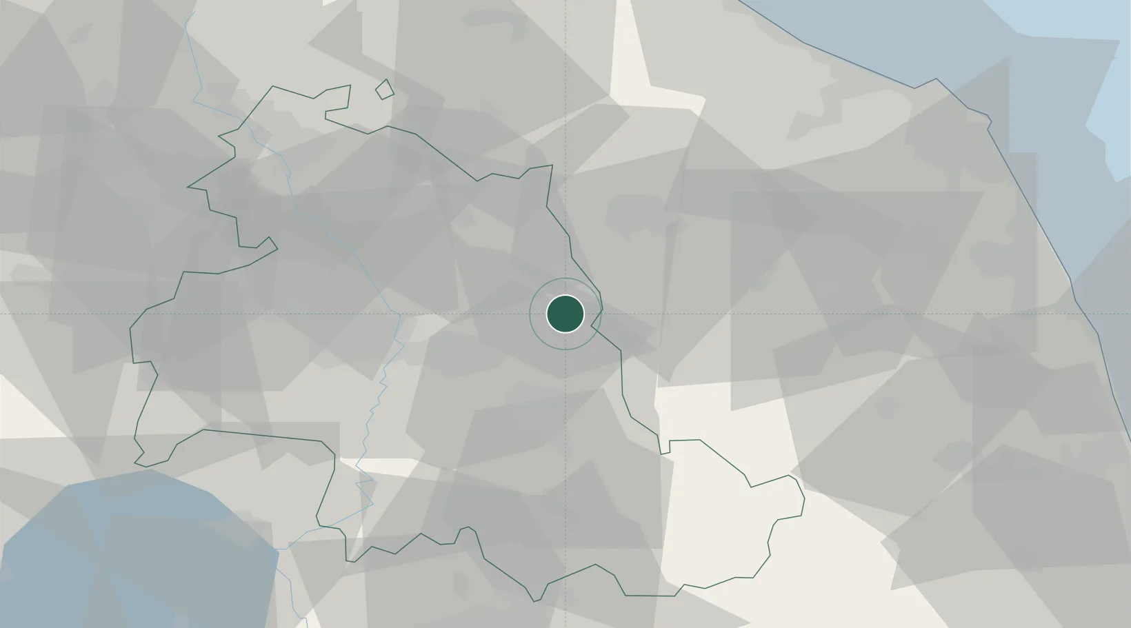
Hub Profile
Place type
Populated place
Region
Umbria
Population
166
Time zone
Europe/Rome
Elevation
489 m
Location
Nearby Logistics Neighbours
Cities
- 1Nocera Umbra6 km
- 2Esanatoglia16 km
- 3Matelica20 km
- 4Santa Maria degli Angeli22 km
- 5Cerreto d'Esi23 km
Ports
- 1Senigallia71 km
- 2Ancona77 km
- 3Civitanova Marche79 km
- 4Fano79 km
- 5Pesaro85 km
Airports
Trade Zones
- 1Abruzzo Special Economic Zone108 km
- 2Ionian Special Economic Zone189 km
- 3Port of Pula Free Zone207 km
- 4Port of Rijeka Free Zone254 km
- 5Free Port of Venice255 km
DatabookThe Record of Consolidated Knowledge
Italy beyond logistics?