Transport Functions
Road
Multimodal
Hub Profile
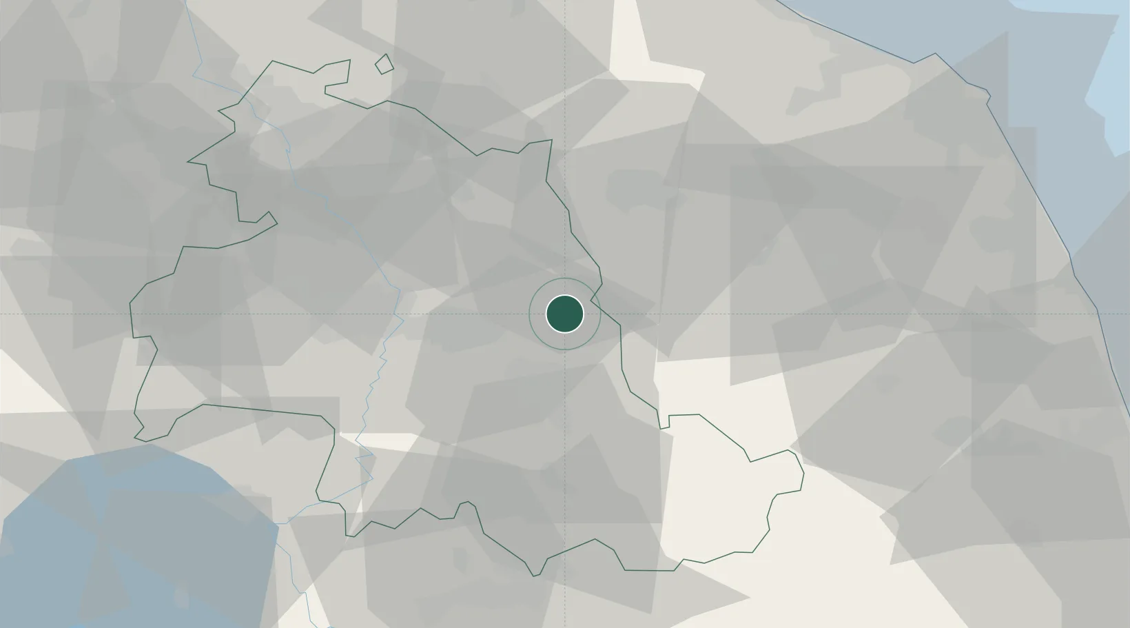
Place type
District seat
Region
Umbria
Population
1,690
Time zone
Europe/Rome
Elevation
520 m
Location
Nearby Logistics Neighbours
Cities
- 1Gaifana6 km
- 2Santa Maria degli Angeli19 km
- 3Foligno20 km
- 4Esanatoglia20 km
- 5Matelica23 km
Ports
- 1Senigallia76 km
- 2Civitanova Marche80 km
- 3Ancona81 km
- 4Fano85 km
- 5Pesaro91 km
Airports
Trade Zones
- 1Abruzzo Special Economic Zone103 km
- 2Ionian Special Economic Zone185 km
- 3Port of Pula Free Zone212 km
- 4Port of Rijeka Free Zone259 km
- 5Free Port of Venice260 km
DatabookThe Record of Consolidated Knowledge
Italy beyond logistics?